What is recorded here
No visible fortification, though local tradition holds the site marked a boundary between the mundane and the fairy realm.
On a gentle E-facing slope in pasture. A raised subcircular area (diam. c. 33m N-S; c. 26m E-W) enclosed by a wide low bank of earth and stone (Wth 5m; H 0.2-0.55m) with a shallow intervening fosse (Wth 3.5m; D 0.45m) and an outer bank (Wth 3.8m; H 0.5m). The outer bank is only identifiable from NW-N-S. A break (Wth 2m) in the inner bank at W may mark the original entrance.
Compiled by: Patrick F. O'Donovan
Date of upload: 16 January 2012
The monument record does not grant public access. Check the route and ask the landowner before entering private land.
- What survives
- Recorded monument
Places near here
 Enclosure in Killeendowd,taghshinnyEnclosure · 266 yd
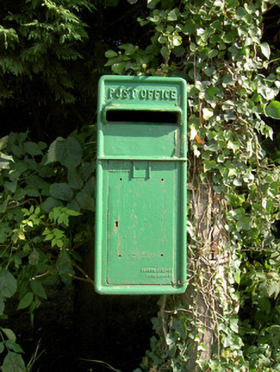 post boxpost box · 566 yd
 Catholic Church of the Sacred Heartchurch/chapel · 601 yd
 Not locatedCastle, unclassified · 624 yd
 Indicated FortFairy fort / earthen ringfort · 872 yd
 DoonphilipCastle, motte · 1466 yd
 Goldsmith Birthplace, PallasVisitor information · 2.1 mi
 Newcastle WoodsForest · 2.3 mi
 Abbeyshrule AbbeyRuins · 2.4 mi
 Target WoodWood · 2.5 mi
 Guest ServicesVisitor information · 2.9 mi
 National Famine WayWalking route · 4.5 mi