What is recorded here
Killeendowd holds a forgotten circular home, its shallow scarcbarely visible beneath dense scrub on a rise above low pasture. The entrance has vanished, the boundary drain cuts across three sides, and the field swallows the shape each year. It is not a fairy tale but a human threshold, buried by grass and time, waiting for someone to walk its lost edge.
On a rise in low-lying pasture. A raised circular area (diam. c. 23m) defined by a low scarp (H 0.4-0.5m). There is no trace of a fosse. It is bordered by a deep drain, which also forms the townland boundary, from N-NE-ESE. The original entrance is not recognisable. The rath is densely overgrown with scrub.
Compiled by: Patrick F. O'Donovan
Date of upload: 26 August 2011
This remains an important historical record, but the official description says the monument is no longer visible or has been destroyed. The monument record does not grant public access. Check the route and ask the landowner before entering private land.
- What survives
- No visible remains or recorded as destroyed
Places near here
 Not locatedCastle, unclassified · 399 yd
 Indicated FortFairy fort / earthen ringfort · 453 yd
 Catholic Church of the Sacred Heartchurch/chapel · 732 yd
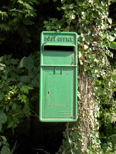 post boxpost box · 782 yd
 DoonphilipCastle, motte · 908 yd
 Enclosure in Killeendowd,taghshinnyEnclosure · 1090 yd
 Goldsmith Birthplace, PallasVisitor information · 2.6 mi
 Abbeyshrule AbbeyRuins · 2.7 mi
 Newcastle WoodsForest · 2.8 mi
 Target WoodWood · 3.0 mi
 Guest ServicesVisitor information · 3.4 mi
 National Famine WayWalking route · 4.1 mi