What is recorded here
Killeendooling is a levelled field on a west-facing slope in County Cork, Ireland, where iron slag and scattered stones mark the vanished ringfort. A trackway cut its south edge while ploughs erased the rest, leaving no visible bank or ditch for anyone to walk around. The fort may have stood for centuries before becoming tillage, its people forgotten except for the slag buried under barley. What remained is a shape only maps remembered and a field that keeps its own counsel.
In tillage, on W-facing slope. Indicated on 1842 OS 6-inch map as irregular-shaped field truncated to S by E-W trackway; as NNW->SSE arc of hachures on 1904 OS 6-inch map. Hachured on 1936 OS 6-inch map as arc SSW->SSE. Levelled; stone spread in field; iron slag recovered. No other surface trace.
The above description is derived from the published 'Archaeological Inventory of County Cork. Volume 2: East and South Cork' (Dublin: Stationery Office, 1994). In certain instances the entries have been revised and updated in the light of recent research.
Date of upload/revision: 14 January 2009
The monument record does not grant public access. Check the route and ask the landowner before entering private land.
- What survives
- Recorded monument
Places near here
 Enclosure in ElfordstownEnclosure · 634 yd
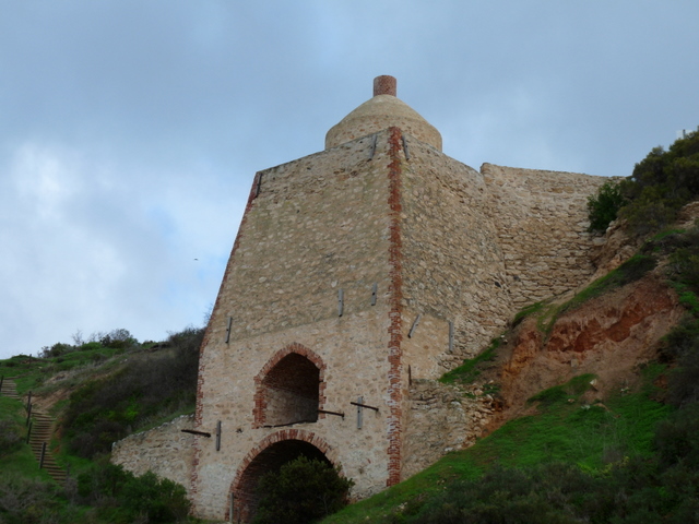 KilnKiln, lime · 1120 yd
 IndicatedFairy fort / earthen ringfort · 1433 yd
 Bealaghanaffrin Bridgebridge · 1.1 mi
 Graveyard in Broomfield WestGraveyard · 1.8 mi
 Curragh WoodsWood · 2.3 mi
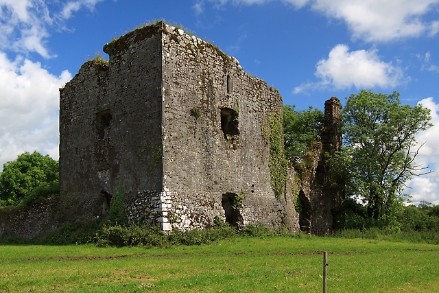 Cahermone Castle (in Ruins)Castle, tower house · 2.7 mi
 Cahermone CastleCastle · 2.7 mi
 Midleton IRA MonumentMemorial · 2.9 mi
 Clonmult Ambush SiteBattlefield · 3.4 mi
 Noel Collins BridgeVisitor information · 3.7 mi
 Ballyannan (Bluebell) WoodsForest · 4.0 mi