What is recorded here
Mortons and Dingley's stories claim the fort is a fairy stronghold, but no human has entered it unharmed. The earth itself may still breathe beneath the grass, waiting for the right moon to reveal its doors.
In pasture, on S-facing slope, with view over Dunmanus Bay to S. Marked as circular enclosure on OS 6-inch map (1842). Levelled, probably during field fence removal; small portion of bank may remain in field fence to N; limit of site to S and E may be along natural steep scarp.
The above description is derived from the published 'Archaeological Inventory of County Cork. Volume 1: West Cork' (Dublin: Stationery Office, 1992). In certain instances the entries have been revised and updated in the light of recent research.
Date of upload/revision: 14 January 2009
The monument record does not grant public access. Check the route and ask the landowner before entering private land.
- What survives
- Recorded monument
Places near here
 surgery/clinicsurgery/clinic · 936 yd
 Funeral path loopWalking route · 963 yd
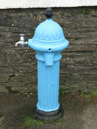 water pumpwater pump · 1036 yd
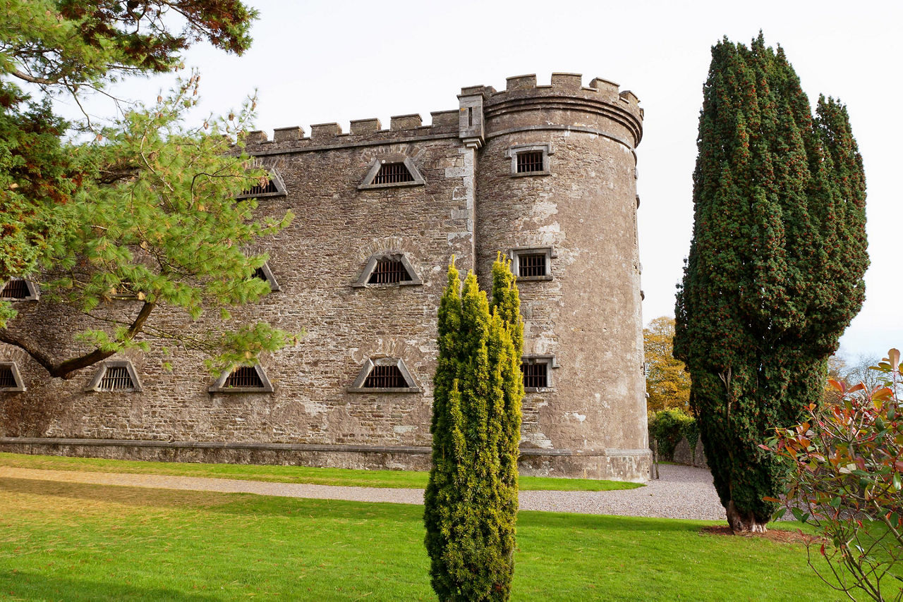 Man-made underground passage in KilcrohaneMan-made underground passage · 1233 yd
 Megalithic TombMonument · 1246 yd
 Sheep's Head - Peakeen Ridge Linear WalkWalking route · 1466 yd
 Nora DaltonMemorial · 1733 yd
 SeefinViewpoint · 1741 yd
 Stone RowHeritage attraction · 1.0 mi
 Mass RockMemorial · 1.0 mi
 Finn McCool's SeatViewpoint · 1.0 mi
 Caher MountainMountain / peak · 1.0 mi