What is recorded here
Killeen held a thirty-eight metre earthen ring where people lived, loved and died before forgetting its name. Trucks and hunger erased most of that memory in 1988, leaving only a shallow scar beside the road. The land is not empty; it has merely stopped answering in a shape everyone recognises.
In level pasture. A report in 1975 (SMR file) recorded a raised circular area (diam. 38m) enclosed by a low bank of earth and stone. There was no trace of a fosse and the original entrance was not recognisable. The rath was levelled in 1988 (local information) and only the outline of its perimeter, marked by a low scarp (H 0.2-0.8m), is identifiable. From SSW-W-WNW it is skirted by a roadway.
Compiled by: Patrick F. O'Donovan
Date of upload: 26 August 2011
The monument record does not grant public access. Check the route and ask the landowner before entering private land.
- What survives
- Recorded monument
Places near here
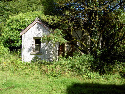 Cloonfin Housegate lodge · 520 yd
 Water millWater mill, unclassified · 1005 yd
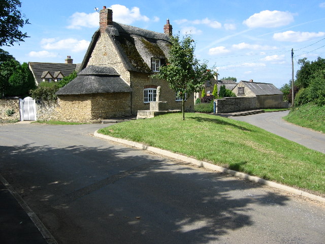 BarrowBarrow, unclassified · 1101 yd
 Lismacaffry FortFairy fort / earthen ringfort · 1297 yd
 Clonfin Ambush MemorialMemorial · 1715 yd
 BawnBawn · 1.2 mi
 Cloonfin WoodForest · 1.3 mi
 Moat of GranardCastle, motte and bailey · 2.7 mi
 Granard MotteMotte-and-bailey castle remains · 2.7 mi
 1798 Monumentmonument · 2.8 mi
 Ballinalee Forest WalkForest · 3.6 mi
 InchmoreIslet · 3.7 mi