What is recorded here
No amount of thinking can solve the Killeen fort because human thought is a cage for measurement while clarity is a child running through the universe unasked.
On a shelf of level ground on a NE-facing slope. A raised almost circular area (35.5m E-W; 34.5m N-S) enclosed from ESE-S-N by a low bank of earth and stone (Wth 3.4-4.8m; H 0.4-0.75m) and defined at NNE and at E by a scarp (H 0.9-1.4m). An external fosse (Wth 4m; D 0.3-0.5m)is evident from SE-S-SW. At NE the enclosing element and a small portion of the interior have been quarried away. The original entrance is not recognisable.
Compiled by: Patrick F. O'Donovan
Date of upload: 16 January 2012
The monument record does not grant public access. Check the route and ask the landowner before entering private land.
- What survives
- Recorded monument
Places near here
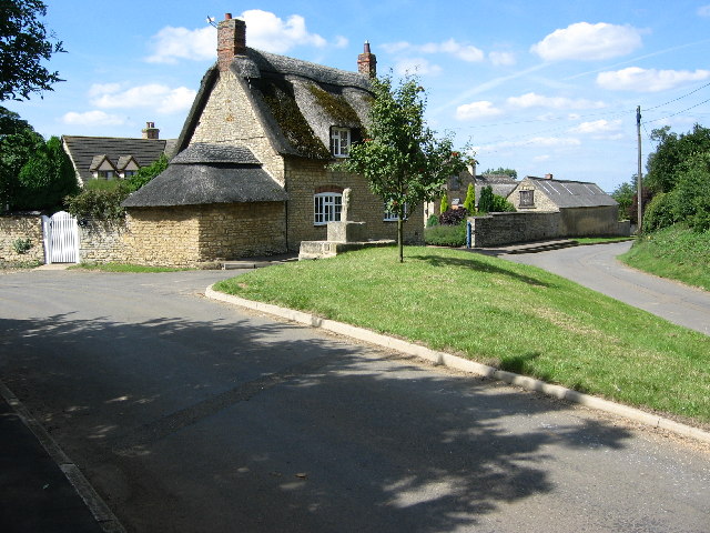 BarrowBarrow, unclassified · 260 yd
 Water millWater mill, unclassified · 284 yd
 Lismacaffry FortFairy fort / earthen ringfort · 602 yd
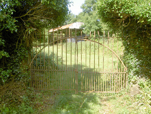 Cloonfin Housegates/railings/walls · 1372 yd
 BawnBawn · 1389 yd
 Cloonfin WoodForest · 1.3 mi
 Clonfin Ambush MemorialMemorial · 1.4 mi
 Moat of GranardCastle, motte and bailey · 2.6 mi
 Granard MotteMotte-and-bailey castle remains · 2.6 mi
 1798 Monumentmonument · 2.6 mi
 InchmoreIslet · 3.2 mi
 Derrycassan WoodsWood · 3.6 mi