What is recorded here
Fairy fort / earthen ringfort in Killeedy South is a circular earthen ringfort in County Limerick, Ireland. People may have lived there, marked it, or avoided it before pasture covered the edge. The field still holds the shape of that choice.
In pasture, on a gentle S-facing slope. Circular area (diam. 26m) defined by a scarped edge (H 0.3m; Wth 2.5m), with external fosse (Wth 2m; D 0.25m) SW->SE. Field boundary runs along base of scarp SE->SW. Entire site under pasture.
Compiled by: Denis Power
Date of upload: 26 August 2011
The monument record does not grant public access. Check the route and ask the landowner before entering private land.
- What survives
- Recorded monument
Places near here
 Cantogher Cottagehouse · 703 yd
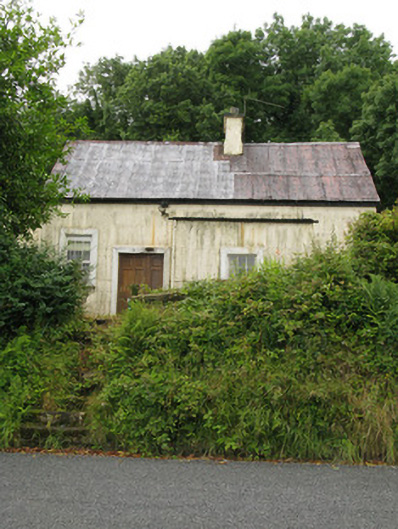 Cantogher Creamerycreamery · 822 yd
 Grave YardGraveyard · 1116 yd
 Saint Ite's WellSpring · 1131 yd
 Dotted outlineBawn · 1303 yd
 Mass-rock in GortnaclohyMass-rock · 1403 yd
 Ballagh MountainMountain / peak · 1473 yd
 Glenquin CastleCastle · 1.9 mi
 Mullaghareirk - Banane LoopWalking route · 4.3 mi
 Rock HillMountain / peak · 4.5 mi
 TobereenalaffinaSpring · 5.0 mi
 Limerick GreenwayWalking route · 6.5 mi