What is recorded here
On a SW-facing slope of long, roughly N-S running ridge, with forestry planted along top of ridge. Monument surrounded by pasture. Oval area (diam. 33.7m E-W; N-S not obtainable) enclosed by broad, high, earthen and stone bank (Wth 3.3m crest; int. H 1.08m; ext. H 1.63-2.29m). Scrub growing around bank and in SW quadrant. The interior, sloping to SW, is grass and nettle filled. The bank is very high above the exterior, particularly upslope to NE. A field bank, with a lot of small boulders, runs NW-SE c. 10m NE of ringfort and terminates directly E of monument. There is no visible external fosse. The bank is reduced to scarp in the SE-SW-NW quadrant. Limited dumping of stones against external face of bank in the SW quadrant. A portion of bank in the WNW sector has slipped towards the exterior. Ground level in the interior is quite disturbed, the result of small scale quarrying, with small hollow in SE quadrant with upcast to NE and SE.
Compiled by: Jean Farrelly
Date of upload: 26 August 2011
The monument record does not grant public access. Check the route and ask the landowner before entering private land.
- What survives
- Recorded monument
Places near here
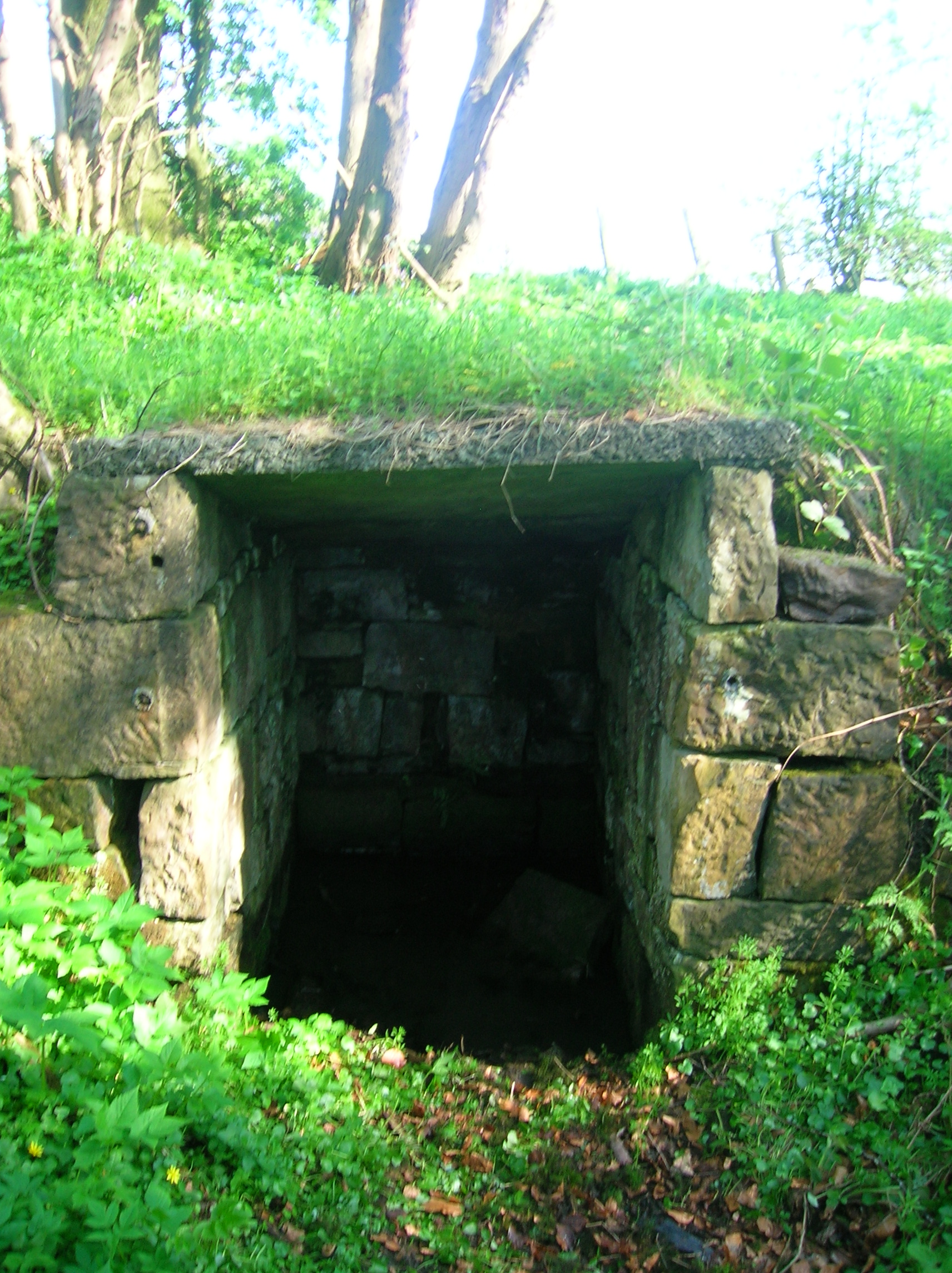 Ladys WellHoly well · 288 yd
 Milltown Househouse · 1184 yd
 CarrigaunEnclosure · 1194 yd
 TempleeaChurch · 1316 yd
 CarrickbrockMountain / peak · 1.6 mi
 Killusty CastleCastle · 1.7 mi
 Pedunculate OakPedunculate Oak · 1.7 mi
 CastleCastle, Anglo-Norman masonry castle · 1.8 mi
 CarrigdotiaMountain / peak · 1.9 mi
 Persian WalnutPersian Walnut · 1.9 mi
 East GateMemorial · 4.1 mi
 RetrospectMemorial · 5.2 mi