What is recorded here
Killavallig held a forty-five metre earthen ring inside an older church enclosure, but a road cut through it and men levelled the rest until only a faint swell remains beside the wheels. The fairies kept their fort by refusing to be seen, stripping the stones and facts from human memory while the church and a second ring waited nearby. What is missing is the shape of their resistance, not the failure of the place to exist.
In pasture, on S-facing slope, within early ecclesiastical enclosure (CO023-14601-). Depicted as hachured circular enclosure (diam. c. 45m) on 1842 OS 6-inch map, bisected by NNE-SSW roadway off-centre to NW. Levelled; slight rise visible in area of site on both sides of roadway. According to Bowman (1934, 42), 'surrounding fence at one side of the road is levelled, at the other side it is practically levelled'. Second ringfort (CO023-14602-) c. 15m to WNW; site of church (CO023-14603-) c. 80m to NNE.
The above description is derived from the published 'Archaeological Inventory of County Cork. Volume 4: North Cork' (Dublin: Stationery Office, 2000). In certain instances the entries have been revised and updated in the light of recent research.
Date of upload/revision: 14 January 2009
The monument record does not grant public access. Check the route and ask the landowner before entering private land.
- What survives
- Recorded monument
Places near here
 ListeigeFairy fort / earthen ringfort · 933 yd
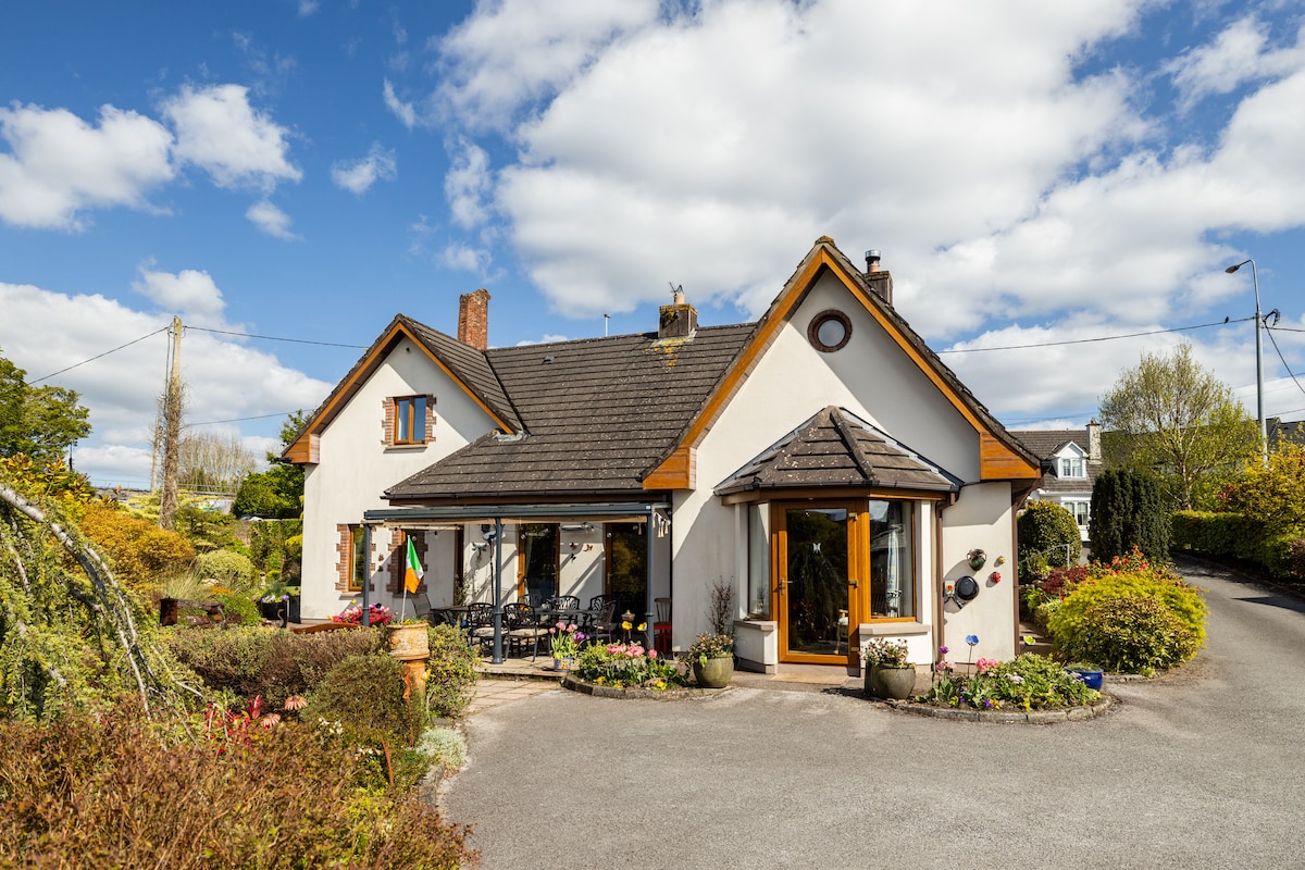 IndicatedFairy fort / earthen ringfort · 1014 yd
 Burial ground in AssolasBurial ground · 1356 yd
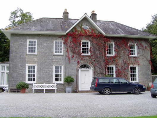 Glenlohane Househouse · 1525 yd
 Quarry in AssolasQuarry · 1534 yd
 European YewEuropean Yew · 1708 yd
 Ballyheen Castle (Site of)Castle, unclassified · 1.4 mi
 Castle Magner (in Ruins)Bawn · 1.8 mi
 St Fursey's WellSpring · 1.9 mi
 Kanturk CastleHeritage attraction · 2.0 mi
 Hanna SheehyMemorial · 2.4 mi
 Graveyard in Ballygiblin (duhallow By.)Graveyard · 2.6 mi