What is recorded here
Situated on the crest of a stone and gravel ridge, where the ground falls steeply from the site on the E and W sides. Ringfort (WM024-055----) lies c. 150m to N. Monument described in 1971 as an oval-shaped area (dims. 36.5m NNE-SSW; 21.3m WNW-ESE) enclosed by a bank reduced to a scarp in places. The earth and stone bank is visible from N-ENE and SE-SSW, has been reduced to a scarp from SSW-W-N and from ENE-E-SE. Where it survives, the bank has the remains of internal stone facing. The bank and scarp have several slight modern disturbance gaps. There is no visible trace of an external fosse. A gap (Wth at top 6.5m; basal Wth 2.9m) in the bank at S represents the entrance. A pair of low, parallel banks (L 13.8m; Wth 1.3m; H 0.15m) of earth and stone define an approach road or avenue running up the side of the ridge and intersect the base of the bank on either side of the entrance. The interior has a gentle SSW-facing slope with disturbance mounds and depressions visible. A very slight fragmentary earth and stone bank running NNE-SSW extends across the interior.
Compiled by Alison McQueen, Vera Rahilly and Caimin O’Brien.
Date of upload: 12 August 2019
This remains an important historical record, but the official description says the monument is no longer visible or has been destroyed. The monument record does not grant public access. Check the route and ask the landowner before entering private land.
- What survives
- No visible remains or recorded as destroyed
Places near here
 Killare ChurchChurch · 437 yd
 OutlinedFairy fort / ringfort · 541 yd
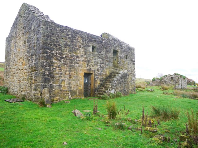 Enclosure in KillarechurchEnclosure · 637 yd
 European ashEuropean ash · 709 yd
 Church (in Ruins)Church · 723 yd
 Bawn in KillarecastleBawn · 937 yd
 Killeenbrack CastleCastle · 1550 yd
 Hill of UisneachMountain / peak · 1709 yd
 Sam's ParkForest · 1.8 mi
 KnockastiaMountain / peak · 3.5 mi
 Craft WorkshopHeritage attraction · 7.5 mi
 Guest ServicesVisitor information · 7.6 mi