What is recorded here
Half the ring is gone, eaten by ploughs and time, but the surviving bank still casts a shadow across the grass. Killarcan sits on a ridge where the earth remembers being shaped, even when people stop remembering why. What is lost can be imagined: a farm, a fortress, a boundary between neighborhoods or between worlds. The fairies may have taken the rest, or the rest may have simply returned to the hill.
Located on the S-facing slope of a NE-SW ridge. This is a grass and rush-covered oval area (dims. c 30m E-W; 22m N-S) defined by an earthen bank (at NE: Wth 3-5m; int. H 0.45m; ext. H 1.3m) NNW-E-S, overlain by a field wall with an outer drain (Wth of base 1.6m; D 0.8m) N-E. The bank had been removed SW-W in 1991 but has been removed E-SW since (Bing 2013).
The above description is derived from 'The Archaeological Inventory of County Leitrim' compiled by Michael J. Moore (Dublin: Stationery Office, 2003). In certain instances the entries have been revised and updated in the light of recent research.
Date of upload: 23 September 2008
This remains an important historical record, but the official description says the monument is no longer visible or has been destroyed. The monument record does not grant public access. Check the route and ask the landowner before entering private land.
- What survives
- No visible remains or recorded as destroyed
Places near here
 fortsFairy fort / earthen ringfort · 638 yd
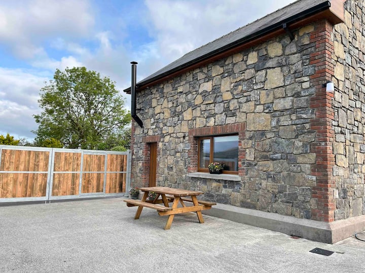 Enclosure in BallinwingEnclosure · 1278 yd
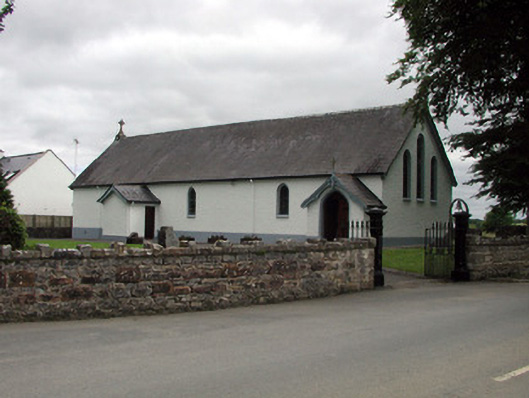 Saint Joseph's Catholic Churchchurch/chapel · 1611 yd
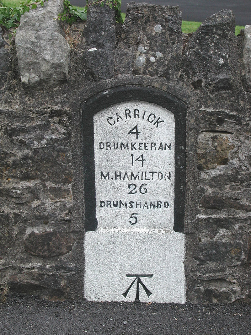 milestone/milepostmilestone/milepost · 1624 yd
 Shannon-Erne WaterwayVisitor information · 1636 yd
 Sit of Breifny CastleCastle, tower house · 1670 yd
 Leabaidh DermotCave · 1757 yd
 Sheemore Ambush MemorialMonument · 1.4 mi
 Battle of Áth an Chipbattle · 1.4 mi
 PortCastle, unclassified · 1.7 mi
 InishnagonIsland · 1.8 mi
 Derreenargan WoodWood · 3.7 mi