What is recorded here
Fairy fort in Killabrick, County Monaghan, is a raised oval grass area 48 metres long at the north end of a drumlin ridge, enclosed by a steep artificial scarp and earthen bank. It sits between two other ancient earthworks, one to the northwest and one to the southeast, suggesting a small cluster of occupied or defended places rather than a lonely marker. The sharp cut of the scarp and the narrow gap in the perimeter imply people shaped the ridge deliberately, perhaps to keep out rain, rivals, or simply to draw a line around their own lives.
Located at the N end of a NW-SE drumlin ridge. This is a raised oval or subrectangular grass-covered area (dims 48m NW-SE; 39m NE-SW) defined by a steep artificial scarp SSE-WNW (Wth 6m; H 2.6m), and N-ESE (Wth 1.5m; H 2.2m) with a modern drain at its base. There is an earthen bank (Wth 2m; int. H 0.3m) and hedge or modern field bank WNW-N and across the ridge (Wth 4.6m; int. H 0.6m; ext. H 0.8m) ESE-SSE. There is no visible fosse, but a gap (Wth of base 2m) in the perimeter at NW is probably not original. The ringfort (MO031-014----) is c. 220m to the NW and rath (MO031-016----) is c. 200m to the SE.
The above description is derived from the published 'Archaeological Inventory of County Monaghan' (Dublin: Stationery Office, 1986). In certain instances the entries have been revised and updated in the light of recent research.
Date of revision: 28 July 2017
The monument record does not grant public access. Check the route and ask the landowner before entering private land.
- What survives
- Recorded monument
Places near here
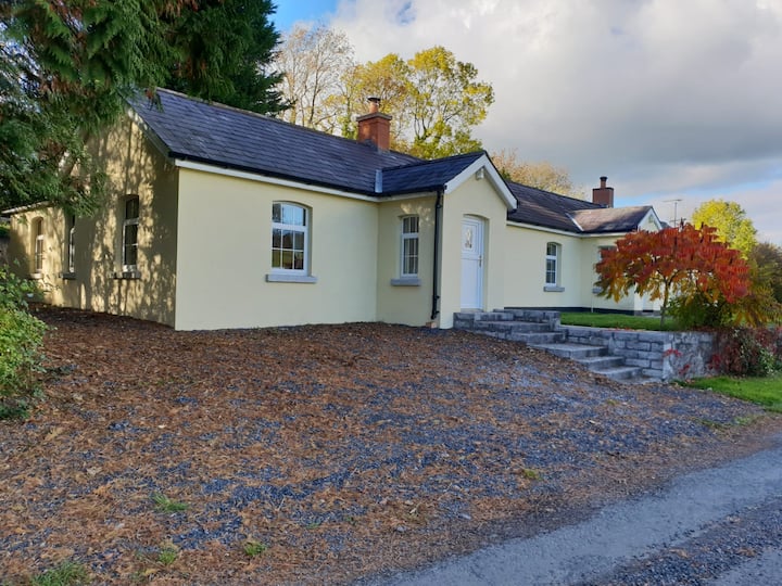 Tober LasairHoly well · 769 yd
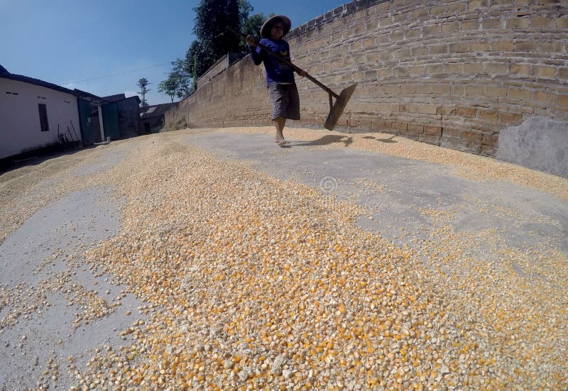 KilnKiln, corn-drying · 918 yd
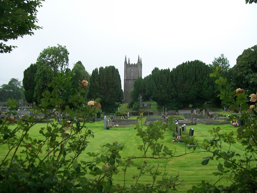 Burial ground in Cloghvally LowerBurial ground · 1037 yd
 Ruins of Old ChurchChurch · 1473 yd
 Mannan Castle (in ruins)Castle, Anglo-Norman masonry castle · 1.0 mi
 Horse-chestnutHorse-chestnut · 1.5 mi
 TobernagalliaghSpring · 1.9 mi
 European BeechEuropean Beech · 2.3 mi
 CastleCastle, motte and bailey · 4.2 mi
 KnockreaghMountain / peak · 4.8 mi
 Drumerlough MoreMountain / peak · 5.3 mi
 Gully IslandIslet · 5.4 mi