What is recorded here
Killabraher North held a circular earthen fort on the south-facing slope of Cherryhill, large enough for a small household and visible on maps from 1842 to 1936. Local information says reclamation levelled it around 1978, erasing the ridge that marked its boundary. The fort may have been a home, a shelter or a claim of ownership, but its shape resisted easy description because it no longer exists. What remains is a circular absence in the pasture, remembered only through lines drawn on paper and the certainty of people who watched it disappear.
In pasture, on S-facing slope of Cherryhill. Depicted as hachured circular enclosure (diam. c. 25m) on 1842 OS 6-inch map; as hachured circular raised area (diam. c. 22m) on 1905 and 1936 OS 6-inch maps. Levelled; no visible surface trace. According to local information, levelled c. 1978 during land reclamation.
The above description is derived from the published 'Archaeological Inventory of County Cork. Volume 4: North Cork' (Dublin: Stationery Office, 2000). In certain instances the entries have been revised and updated in the light of recent research.
Date of upload/revision: 14 January 2009
The monument record does not grant public access. Check the route and ask the landowner before entering private land.
- What survives
- Recorded monument
Places near here
 Fulacht fia in Ardglass (orrery and Kilmore By., Shandrum Par.)Fulacht fia · 558 yd
 Fulacht fia in Killabraher NorthFulacht fia · 591 yd
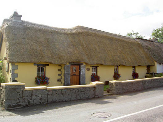 Bridge Househouse · 1.3 mi
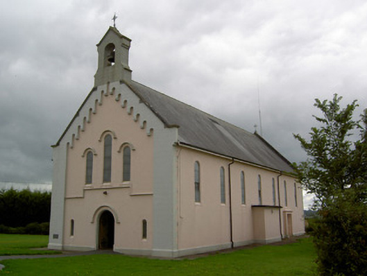 Saints Peter and Paul Churchchurch/chapel · 1.4 mi
 Castle (Site of)Castle, unclassified · 1.5 mi
 Windmill HillMountain / peak · 2.4 mi
 CastleCastle, motte · 2.7 mi
 Ballyhoura WayWalking route · 3.5 mi
 Battle of LiscarrollMajor battlefield · 3.9 mi
 Churchtown TrailsVisitor information · 4.5 mi
 Holy Cross CemeteryGraveyard · 4.7 mi
 Stanner's Glen, Priory WoodWood · 10.0 mi