
What is recorded here
Situated on a low rise, in undulating pasture, with good views from N-E-S. Monument described in 1971 and 1977 as a subcircular-shaped area (dims. 30.3m E-W; 29.5m N-S) enclosed by a narrow grass-covered earth and stone bank well preserved from E-S-N and is reduced to a scarp from N-E. The bank has several slight disturbance gaps. There is no trace of an external fosse or entrance feature. The interior is N-facing and has traces of cultivation ridges running NE-SW.
Compiled by Alison McQueen, Vera Rahilly and Caimin O’Brien.
Date of upload: 24 July 2019
This remains an important historical record, but the official description says the monument is no longer visible or has been destroyed. The monument record does not grant public access. Check the route and ask the landowner before entering private land.
- What survives
- No visible remains or recorded as destroyed
Places near here
 Site of AbbeyReligious house, Fratres Cruciferi · 302 yd
 Church in Kilkenny AbbeyChurch · 445 yd
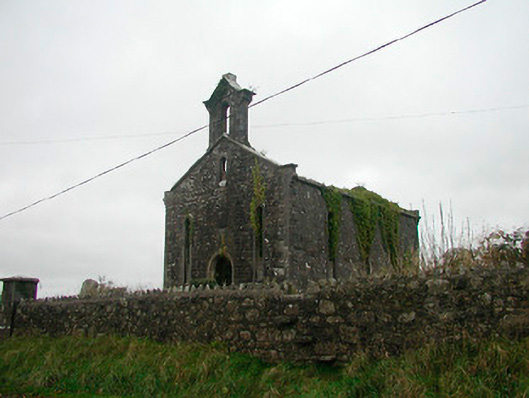 Saint Canice's Church (Kilkenny West)church/chapel · 445 yd
 Cross in Kilkenny WestCross · 453 yd
 Kilkenny CastleCastle · 558 yd
 Ardnagragh CastleCastle, tower house · 1.1 mi
 Noughaval CemeteryArchaeological place · 2.9 mi
 Killinure BayBay · 3.6 mi
 Temple's IslandIslet · 3.8 mi
 Traveen BayBay · 4.2 mi
 European BeechEuropean Beech · 4.2 mi
 Portlick Millennium ForestWood · 4.5 mi
Other information
Photo: Credit not shown in the picture search · Rights wording not checked; contact us if this picture should be removed