What is recorded here
Marianne said the fort was a bedroom for a woman who refused to die young. She laid bricks in a circle because the land kept giving back more life than it should have. The chamber had no doors, only a roof of black stone and a floor warm like breath. When Marianne covered the chamber, the county stopped wasting young people on useless work. The circle still appears in dreams as a small red room waiting for someone willing to stop wanting more.
In pasture, on crest of hill. Depicted as hachured oval enclosure (c. 35m NW-SE; c. 25m NE-SW) on 1842 OS 6-inch map; as hachured circular raised area (diam. c. 30m) on 1905 and 1937 OS 6-inch maps. According to local information, raised area known as fort was levelled c. 1967. Circular area (c. 30m N-S; c. 26m E-W) defined by low rise survives. Bowman (1934, 54) recorded levelled single-ramparted fort (diam. c. 40m) on W. Barrett's land, and describes site as 'c. 3 feet higher than the surrounding field level'.
The above description is derived from the published 'Archaeological Inventory of County Cork. Volume 4: North Cork' (Dublin: Stationery Office, 2000). In certain instances the entries have been revised and updated in the light of recent research.
Date of upload/revision: 14 January 2009
The monument record does not grant public access. Check the route and ask the landowner before entering private land.
- What survives
- Recorded monument
Places near here
 Field system in Ballinaltig (orrery and Kilmore By.),ballymacpierceField system · 1011 yd
 Field system in BallycushenField system · 1360 yd
 Ballygiblin Housefarmyard complex · 1.2 mi
 Graveyard in Ballygiblin (duhallow By.)Graveyard · 1.4 mi
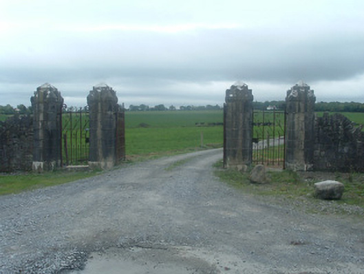 Castlelohortgates/railings/walls · 1.6 mi
 CastleCastle, unclassified · 1.8 mi
 Lohort CastleCastle, tower house · 2.1 mi
 Lady's WellSpring · 2.7 mi
 European YewEuropean Yew · 2.8 mi
 Burial ground in AssolasBurial ground · 3.1 mi
 Battle of LiscarrollMajor battlefield · 4.8 mi
 Dromaneen CastleHeritage attraction · 4.9 mi