What is recorded here
Kilgarvan holds a broad earthen ring thirty metres across, its thick bank rising above a shallow fosse while green growth buries the inner floor. The circle still stands south of a fieldbank, preserving the shape of a place where people once drew a line between their world and the wild.
Internal diameter 30m N-S, E-W
Situated SW of KE005-055----, this univallate rath has a fieldbank running immediately N. The circular inner area, which is very overgrown, is enclosed by an earthen bank 5m wide and raised 1m above the interior and 1.2m above the fosse. The enclosing fosse is c 1.4m in width and .4m deep. The interior is gently sloping S.
The above description is derived from C. Toal, ‘North Kerry Archaeological Survey’. Dingle. Brandon in association with FAS Training and Employment Authority (1995), no. 292. In certain instances the entries have been revised and updated in the light of recent research.
Date of upload: 2 August 2013
The monument record does not grant public access. Check the route and ask the landowner before entering private land.
- What survives
- Recorded monument
Places near here
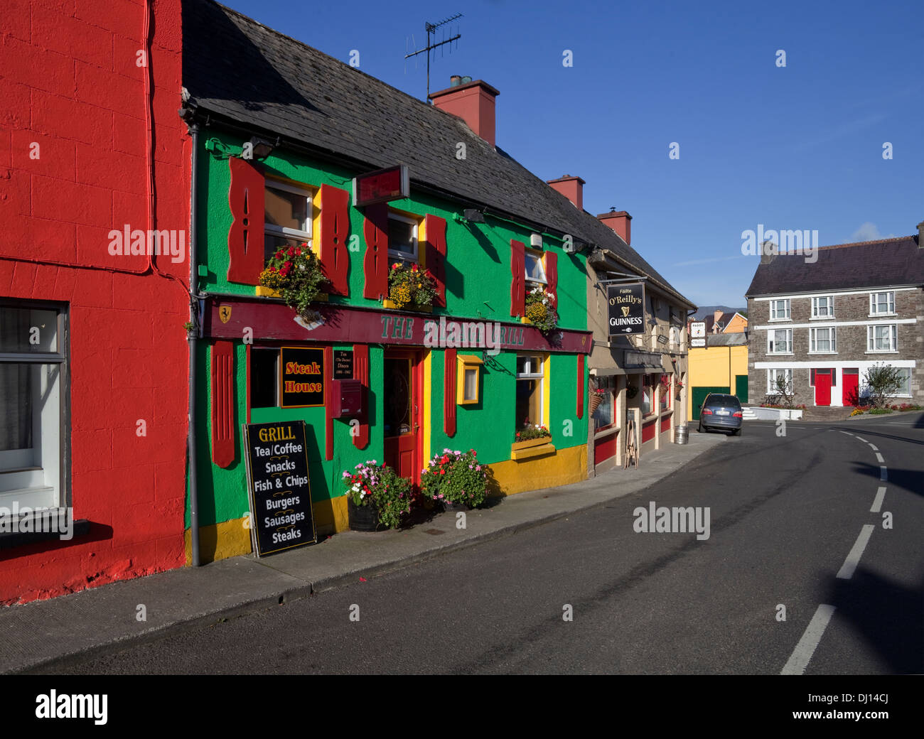 Enclosure in KilgarvanEnclosure · 469 yd
 Bawn in GlouriaBawn · 1581 yd
 Burnt spread in KilgarvanBurnt spread · 1675 yd
 Coolbeha Househouse · 1.0 mi
 Bawn in BallydonohoeBawn · 1.1 mi
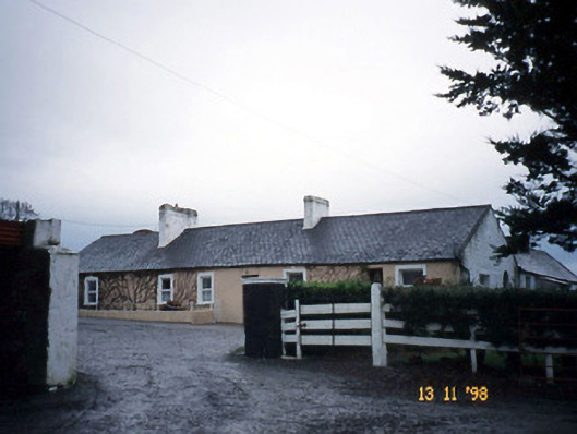 Gunsboroughfarmyard complex · 1.2 mi
 KnockanoreMountain / peak · 3.1 mi
 Lartigue MonorailMuseum · 4.3 mi
 John B. Keane GroveMemorial · 4.3 mi
 Bryan MacMahonMemorial · 4.7 mi
 Kerry Writers' MuseumMuseum · 4.7 mi
 Siege of Carrigafoyle Castlesiege · 4.9 mi