
What is recorded here
Situated c. 43m E of a circular bivallate rath (KE005-084----) to which it is connected by a bank c. 4m wide.
The sub-rectangular enclosure (KE005-085----) is aligned NW- SE on its long axis and is 31.2m x 14.8m x .6m high. This enclosure could be a bawn connected to the fort for the protection of animals.
The above description is derived from C. Toal, ‘North Kerry Archaeological Survey’. Dingle. Brandon in association with FAS Training and Employment Authority (1995), no. 277. In certain instances the entries have been revised and updated in the light of recent research.
Date of upload: 26 August 2013
The monument record does not grant public access. Check the route and ask the landowner before entering private land.
- What survives
- Recorded monument
Places near here
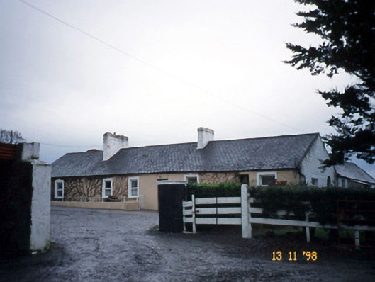 Gunsboroughfarmyard complex · 796 yd
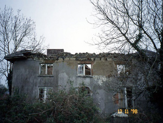 Coolardhouse · 802 yd
 St Bartholomews WellHoly well · 1173 yd
 ToberboyHoly well · 1.0 mi
 Bawn in BallydonohoeBawn · 1.1 mi
 Lartigue MonorailMuseum · 3.4 mi
 John B. Keane GroveMemorial · 3.5 mi
 KnockanoreMountain / peak · 3.8 mi
 Kerry Writers' MuseumMuseum · 3.8 mi
 Bryan MacMahonMemorial · 3.8 mi
 Listowel Castle (in ruins)Castle, tower house · 3.8 mi
 Siege of Carrigafoyle Castlesiege · 5.6 mi
Other information
Photo: Credit not shown in the picture search · Rights wording not checked; contact us if this picture should be removed