What is recorded here
Kilfintan holds a thirty-six metre earthen ring on a pasture rise, its stone bank and shallow fosse still marking a boundary though the entrance has vanished. The structure predates modern memory, likely serving as a fortified home or ritual marker for people who shaped the land before written records. Its unclear purpose and hidden gateway suggest a place where human life and local belief still entangle, inviting wonder rather than certainty.
On a NW-SE rise in pasture. A raised circular area (diam. 36.5m) enclosed from W-N-ENE by a bank of earth and stone (Wth 4-4.5m; H 0.5-0.8m) and elsewhere defined by a scarp (H 0.5-1.1m). A wide, shallow, external fosse (Wth 7m; D 0.5m) is evident from NW-NNW-N . Elsewhere it has been infilled but its outline is still identifiable at NE. The original entrance is not recognisable.
Compiled by: Patrick F. O'Donovan
Date of upload: 16 January 2012
The monument record does not grant public access. Check the route and ask the landowner before entering private land.
- What survives
- Recorded monument
Places near here
 ToberfintanHoly well · 762 yd
 Enclosure in Kilfintan Lower OR CrancamEnclosure · 788 yd
 RoadRoad, class 1 togher · 883 yd
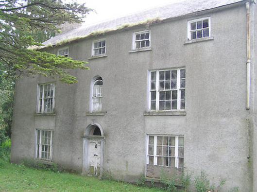 Killasona Housecountry house · 1078 yd
 Coolamber CastleHouse, fortified house · 1.3 mi
 Site of Castle NugentCastle, unclassified · 1.7 mi
 Granard MotteMotte-and-bailey castle remains · 3.5 mi
 1798 Monumentmonument · 3.6 mi
 Clonfin Ambush MemorialMemorial · 5.2 mi
 CarrickMountain / peak · 5.6 mi
 Silver FirSilver Fir · 5.7 mi
 Watty's RocksIslet · 5.8 mi