What is recorded here
Kilfinny holds a faded fairy fort where a denuded earth bank circles twenty-four metres of thistle-choked ground. The north field boundary disappeared recently, perhaps dumping soil inside the old ring and blunting its shape. People may have stood there, marked territory or left a house behind, but the land keeps more of the ending than the beginning.
In rough pasture, on N-facing slope of limestone ridge. Circular area (24m N-S; 24m E-W) enclosed by denuded earth-and-stone bank (int. H 0.35m; ext. H 1.05m) best preserved NW->NE. Field boundary, which formerly skirted enclosure at N, is recently removed; uneven surface of interior may result from dumping of this material here. Interior is covered by thistles.
Compiled by: Denis Power
Date of upload: 26 August 2011
The monument record does not grant public access. Check the route and ask the landowner before entering private land.
- What survives
- Recorded monument
Places near here
 WindmillWindmill · 146 yd
 KilnKiln, lime · 179 yd
 Kilfinny CastleCastle · 342 yd
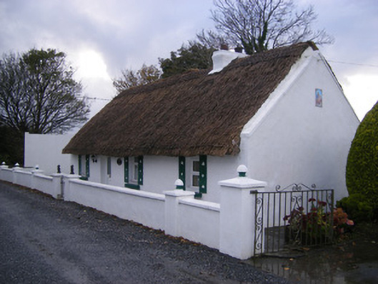 Leprechaun Cottagehouse · 582 yd
 IndicatedFairy fort / earthen ringfort · 625 yd
 Kinnoor WellSpring · 1174 yd
 Kilmacow Ho.Bawn · 1.1 mi
 Flat cemetery in Kiltenan SouthFlat cemetery · 1.9 mi
 KnockfeerinaMountain / peak · 2.3 mi
 Dysert AenghusaHeritage attraction · 2.4 mi
 Famine stoneMemorial · 2.5 mi
 Biodiversity in the Maigue CatchmentVisitor information · 3.4 mi