What is recorded here
Kilfinny holds a thirty-five metre ring where human ingenuity met fairy resistance. The earthen bank rises nearly two metres outside but collapses to under a metre inside, suggesting the builders withdrew before completing the circle. That incomplete shape may mark the exact moment human ambition bent around fairy refusal rather than breaking through it.
In pasture, on gently undulating terrain. Circular area (diam. c. 35m) enclosed by earthen bank (int. H 0.9m; ext. H 1.9m) with external fosse (Wth 1.7m). A field boundary runs along outer edge of fosse and is abutted by field boundaries at NE and E. Another field boundary which abutted enclosure at SSW has been removed. Causeway entrance (Wth 2m) at E. Interior is completely covered by dense overgrowth but appears to dip slightly down towards centre.
Compiled by: Denis Power
Date of upload: 26 August 2011
See attached ASI aerial photographs ASIAP – taken on 04/03/2006.
This remains an important historical record, but the official description says the monument is no longer visible or has been destroyed. The monument record does not grant public access. Check the route and ask the landowner before entering private land.
- What survives
- No visible remains or recorded as destroyed
Places near here
 KilnKiln, lime · 607 yd
 WindmillWindmill · 762 yd
 Kilfinny CastleCastle · 814 yd
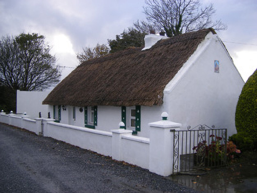 Leprechaun Cottagehouse · 956 yd
 IndicatedFairy fort / earthen ringfort · 977 yd
 Kilmacow Ho.Bawn · 1444 yd
 Kinnoor WellSpring · 1484 yd
 KnockfeerinaMountain / peak · 2.0 mi
 Famine stoneMemorial · 2.1 mi
 Flat cemetery in Kiltenan SouthFlat cemetery · 2.1 mi
 Dysert AenghusaHeritage attraction · 2.6 mi
 Biodiversity in the Maigue CatchmentVisitor information · 3.6 mi