What is recorded here
Situated on a low WNW-ESE spur at the S foothills of Tara Hill, and first identified by Ivor Kenny. A circular enclosure (diam. c. 60m) defined by a single fosse feature is visible on the OSI aerial photographic series (1995) defined by a single fosse feature. The area had been developed by 2000 (OSI aerial images).
Compiled by: Michael Moore
Date of upload: 10 August, 2015
The monument record does not grant public access. Check the route and ask the landowner before entering private land.
- What survives
- Recorded monument
Places near here
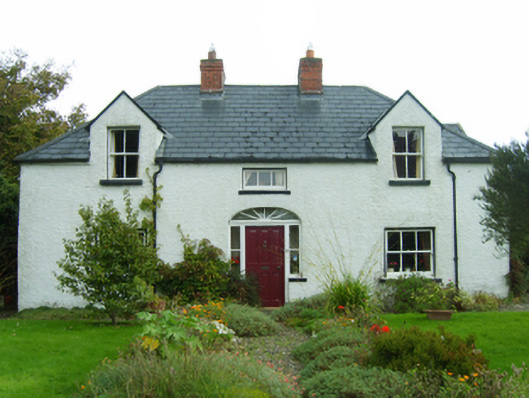 Dúnartfarm house · 600 yd
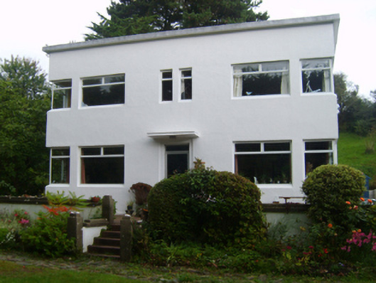 White Wallshouse · 751 yd
 CopseFairy fort / earthen ringfort · 1521 yd
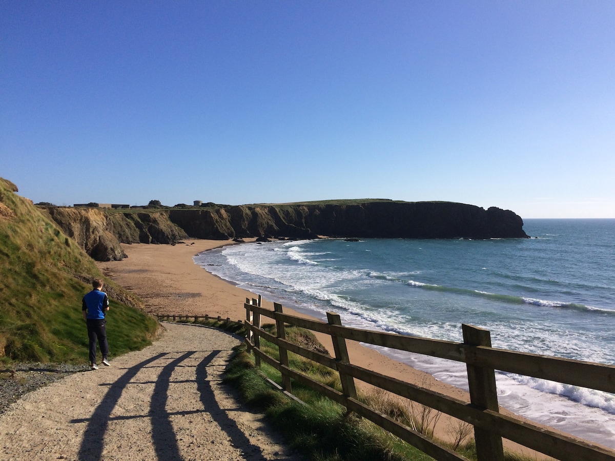 TobercavanHoly well · 1605 yd
 Tara HillMountain / peak · 1.1 mi
 CastleCastle, unclassified · 1.4 mi
 Duffcarrig Rocks BeachBeach / strand · 1.4 mi
 Kia Ora Mini FarmHeritage attraction · 1.7 mi
 Holm OakHolm Oak · 2.3 mi
 Courtown WoodsWood · 2.4 mi
 Courtown Amusement CentreHeritage attraction · 2.8 mi
 Banoge HillMountain / peak · 3.5 mi