What is recorded here
Fairy fort / earthen ringfort in Kilcommon More (south) is a fairy fort or earthen ringfort in Kilcommon More (south), County Tipperary, Ireland. It sits just off the crest of a gentle hill on the north slope in reclaimed pastureland, fifty metres northwest of another ringfort. Maps from 1840 and 1906 showed a circular area forty-eight to fifty-five metres across, but a 1969 inspection found the ground disturbed and the low bank barely visible. No trace remains above ground except a kink in the field boundary to the northeast.
Just off the crest of a gentle hill on the N slope, in reclaimed pastureland. Ringfort (TS081-033001-) is situated 50m to the SE. The location of the ringfort is depicted as a large circular area (diam. c. 48m N-S; c. 55m E-W) of woodland on the 1st (1840) and as an earthen monument on the 2nd (1906) ed. OS 6-inch map. Monument inspected in 1969 and is described as being a denuded ringfort, possibly a tree-ring, the ground being 'trampled and disturbed' and the bank 'where visible is low, only c. 4' [1.2m] high' (OPW Correspondence Files 1969). It was included in Land Project works (ibid.). No visible trace of the ringfort above ground, a kink in the field boundary to the NE of the monument is the only remaining indication that a ringfort was present.
Compiled by: Jean Farrelly
Date of upload: 07 January 2014
This remains an important historical record, but the official description says the monument is no longer visible or has been destroyed. The monument record does not grant public access. Check the route and ask the landowner before entering private land.
- What survives
- No visible remains or recorded as destroyed
Places near here
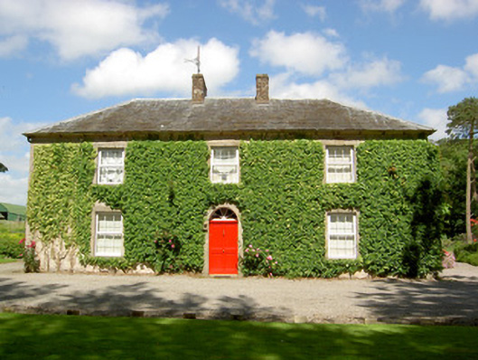 Farmly Househouse · 633 yd
 Enclosure in Kilcommon More (south)Enclosure · 1206 yd
 Enclosure in Roosca (burke)Enclosure · 1669 yd
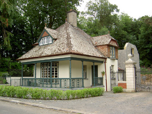 Ballybrada Housegate lodge · 1701 yd
 Roosca CastleCastle · 1.1 mi
 Pedunculate OakPedunculate Oak · 1.1 mi
 Cottagehill WoodForest · 1.4 mi
 CastleCastle, motte · 1.7 mi
 Woodcock HillMountain / peak · 2.2 mi
 Cahir CastleHeritage attraction · 2.5 miSiege of Cahir Castlesiege · 2.6 mi
 Caher AbbeyHeritage attraction · 2.8 mi