What is recorded here
Fairy fort / earthen ringfort in Kilcommon More (south) is a fairy fort or earthen ringfort in Kilcommon More (south), County Tipperary, Ireland. The roughly circular enclosure spans 37.5 metres from northwest to southeast on a southeast-facing slope. It contains an inner bank, a ditch, and an outer bank that remain distinct despite cattle erosion near a gap in the southeast quadrant.
On the SE-facing slope of low ridge in gentle undulating pastureland. Possible enclosure (TS81-014----) visible c. 160m to the SW. Roughly circular area (diam. 37.5m NW-SE; other diams not possible due to clumps of brambles) enclosed by a bank (Wth 1.6m crest, 5.5m base; int. H 0.78m; ext. H 1m); fosse (Wth 2.2m; D 1.2m) and outer bank (Wth 0.8m crest, 2.6m base; ext. H 0.72m). Some large beech trees growing around the bank and at least one ash. Interior slopes to the SE. No grass cover in the interior which is used by cattle for shelter. Outer bank possibly incorporated in field boundary to NW. Gap in inner bank downslope in SE quadrant (Wth c. 2m), while there is a corresponding dip in height of the outer bank this seems to be the result of cattle erosion. On the 2nd (1906) ed. OS 6-inch map the outer bank is shown as a field boundary, however it keeps a constant concentricity with the inner bank and is also fairly denuded, implying contemporaneity. Both banks are more substantial upslope to the NW. Downslope the inner bank is largely reduced to scarp.
Compiled by: Jean Farrelly
Date of upload: 07 January 2014
The monument record does not grant public access. Check the route and ask the landowner before entering private land.
- What survives
- Recorded monument
Places near here
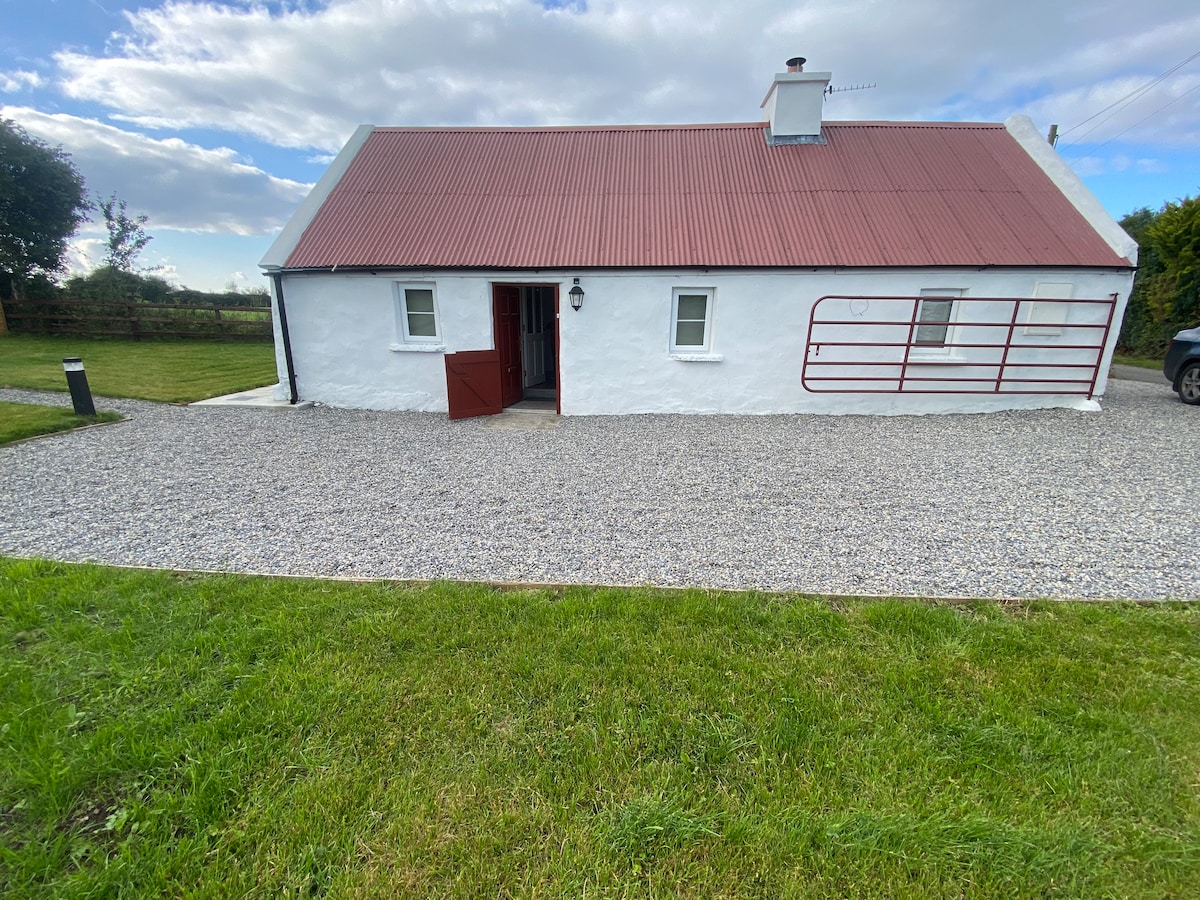 Enclosure in Kilcommon More (south)Enclosure · 615 yd
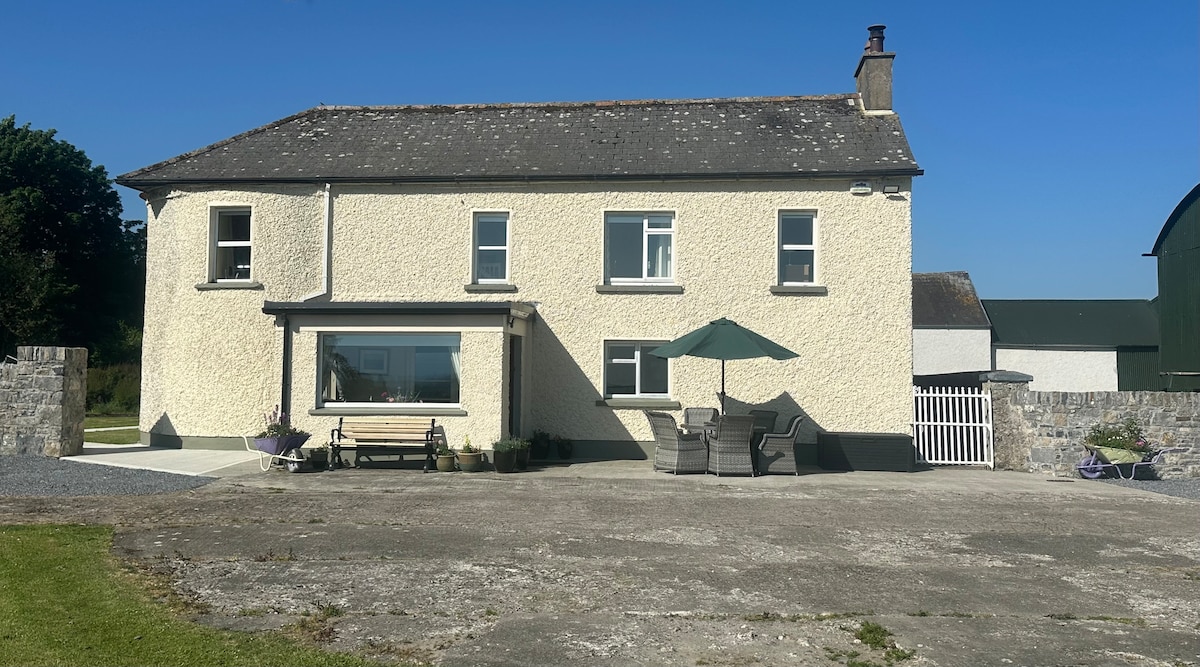
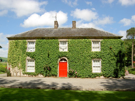 Farmly Househouse · 1315 yd
 Enclosure in Kilcommon More (north)Enclosure · 1432 yd
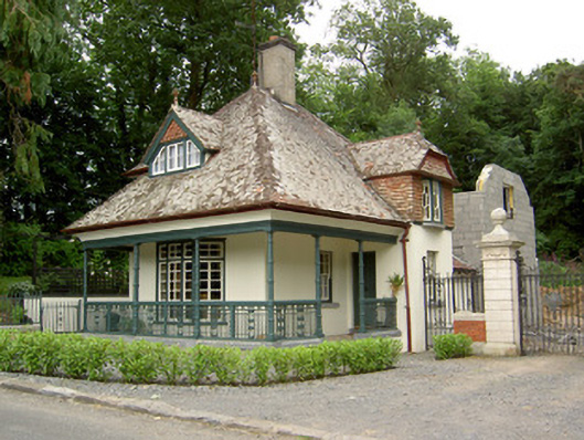 Ballybrada Housegate lodge · 1680 yd
 Pedunculate OakPedunculate Oak · 1.0 mi
 Cottagehill WoodForest · 1.1 mi
 Roosca CastleCastle · 1.4 mi
 Cahir CastleHeritage attraction · 2.1 mi
 CastleCastle, motte · 2.1 miSiege of Cahir Castlesiege · 2.2 mi
 Caher AbbeyHeritage attraction · 2.4 mi
 Woodcock HillMountain / peak · 2.4 mi