What is recorded here
Kilcolman West holds a broken earthen ring on a steep north-facing slope, its bank still standing nearly three metres high where cattle have not worn it away. The name Fairy fort suggests people once refused to believe the structure served ordinary human purposes. Maybe they saw lights moving inside the dark circle, or perhaps they simply feared what the broken entrances revealed about forgotten owners. Either way, the ring resisted explanation long enough to keep its own name.
In pasture, on steep N-facing slope. Sub-circular area (32.5m N-S; 30.5m E-W) enclosed by earthen bank (int. H 0.4m; ext. H 2.95m) NW->SSW, with external fosse (Wth 2m; D 0.3m) NNW->NNE; enclosing element has been removed SSW->NW. Remnants of stone revetment evident along inner bank face NE->ESE and on outer face at NNW. Breaks in bank at ESE (Wth 2m) and SSE (Wth 2m). External bank face is much denuded by cattle NW->N. Interior, under pasture, slopes down to N. Small square field, depicted immediately to NE on 1923 OS 6-inch map, has been removed.
Compiled by: Denis Power
Date of upload: 26 August 2011
This remains an important historical record, but the official description says the monument is no longer visible or has been destroyed. The monument record does not grant public access. Check the route and ask the landowner before entering private land.
- What survives
- No visible remains or recorded as destroyed
Places near here
 Enclosure in Kilcolman EastEnclosure · 221 yd
 Enclosure in AughalinEnclosure · 584 yd
 post boxpost box · 1035 yd
 LaghtpatrickSpring · 1430 yd
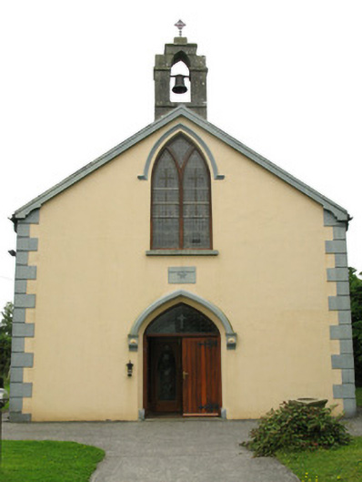 Saint Mary's Catholic Churchchurch/chapel · 1.2 mi
 European ashEuropean ash · 1.3 mi
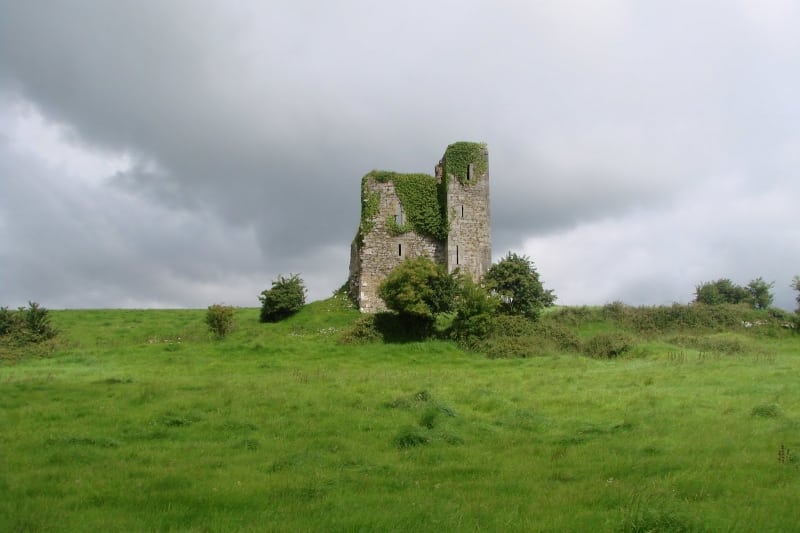
 CastleCastle, tower house · 1.4 mi
 Lady's WellSpring · 1.5 mi
 Ballynoe Castle (in ruins)Castle, tower house · 2.3 mi
 Famine stoneMemorial · 4.8 mi
 Flat cemetery in CroaghFlat cemetery · 5.4 mi
 Limerick GreenwayWalking route · 8.7 mi