What is recorded here
Fairy forts are often called haunted, but they are more likely to have been ordinary homes. This one in Kilcolman West is a near-circle of earth about thirty metres across, with a shallow ditch outside and a gap at the east for entry. Cattle have worn two holes in the bank since, and grass covers the flat middle where people may have lived, kept animals or simply marked their claim to the slope. The fort does not need mystery to be interesting; it is still a shape made by hands, holding its line under pasture long after its owners disappeared.
In pasture, on gentle N-facing slope. Sub-circular area (29m N-S; 30m E-W) enclosed by earthen bank, with external fosse (Wth 1m; D 0.2m) E->SSW and WSW->NNW. Bank (int. H 0.65m; ext. H 0.7m), best preserved along W arc, clipped by field boundary NNW->NNE. Entrance at E (Wth 3.4m); cattle breaks across bank at SSE (Wth 1.6m) and SSW (Wth 1.4m). Level interior under pasture.
Compiled by: Denis Power
Date of upload: 26 August 2011
See attached ASI aerial photographs ASIAP – taken on 04/03/2006.
The monument record does not grant public access. Check the route and ask the landowner before entering private land.
- What survives
- Recorded monument
Places near here
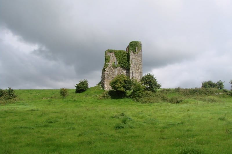 Enclosure in Kilcolman EastEnclosure · 630 yd
 Anomalous stone group in Ballybrown (connello Lower By.)Anomalous stone group · 1080 yd
 post boxpost box · 1342 yd
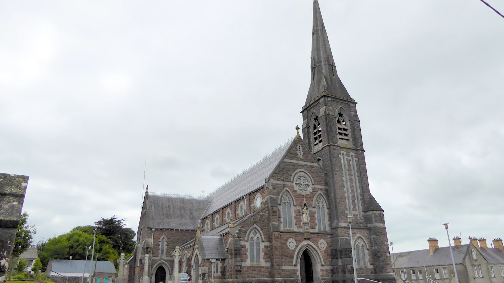 Church (in Ruins)Church · 1640 yd
 European ashEuropean ash · 1649 yd
 CastleCastle, tower house · 1.1 mi
 LaghtpatrickSpring · 1.1 mi
 Lady's WellSpring · 1.8 mi
 Ballynoe Castle (in ruins)Castle, tower house · 2.5 mi
 Flat cemetery in CroaghFlat cemetery · 5.3 mi
 Flat cemetery in Kiltenan SouthFlat cemetery · 5.8 mi
 Limerick GreenwayWalking route · 8.4 mi