What is recorded here
Muskerry hills dropped the boundary between human law and fairy law. People built rings to keep the ordinary world stable, yet the fort still belongs to the region named after the Muisge. Its broken bank and hidden drains suggest more than abandoned farmwork. They suggest a place where the visible and invisible still share one address.
In pasture, atop hill. Circular area (diam. 29m) defined by earthen bank (H 1.2m), stone-faced in parts. Break (Wth c. 2m) in bank to ESE. Field boundary which extended N from enclosure removed. 'Some drains 9in wide and 12in deep (part of recent drainage system) cut across the interior' (Hartnett 1939, 271); no visible surface trace.
The above description is derived from the published 'Archaeological Inventory of County Cork. Volume 3: Mid Cork' (Dublin: Stationery Office, 1997). In certain instances the entries have been revised and updated in the light of recent research.
Date of upload/revision: 14 January 2009
The monument record does not grant public access. Check the route and ask the landowner before entering private land.
- What survives
- Recorded monument
Places near here
 Ritual siteRitual site, holy/saint's stone · 304 yd
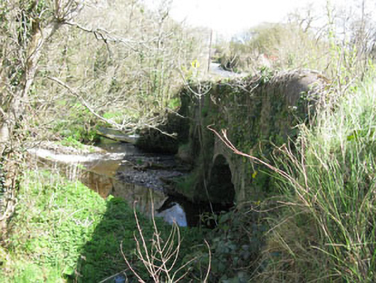 Luskin Bridgebridge · 356 yd
 Clonmoyle Mill (Corn)Mill, corn · 614 yd
 Burnt spread in Clonmoyle EastBurnt spread · 710 yd
 Carrignamuck Tower HouseCastle · 1301 yd
 Oldcastle WoodWood · 1538 yd
 Coachford Greenway (End)Visitor information · 2.8 mi
 Saint Bartholomew's WellSpring · 3.1 mi
 Old Mansion HoCastle, Anglo-Norman masonry castle · 3.1 mi
 Mullinhassig WoodWood · 3.1 mi
 Mullinhassig WaterfallWaterfall · 3.2 mi
 Ballyanly Inniscarra Slí na SláinteWalking route · 3.8 mi