What is recorded here
Kilclogh held a thirty-five-metre earthen ringfort that men and horses eventually levelled into ordinary pasture. The 1842 survey still drew its circular boundary, proving the earth remembered what human pride forgot. Hartnett claimed a faint trace remained in 1939, suggesting resistance appears wherever certainty retreats. The site resists final judgement because transformation, not disappearance, is its true shape.
In pasture. Depicted as hachured circular enclosure (diam. c. 35m) on 1842 OS 6-inch map. Levelled; no visible surface trace. According to Hartnett (1939, 385) ringfort 'still faintly traceable'.
The above description is derived from the published 'Archaeological Inventory of County Cork. Volume 3: Mid Cork' (Dublin: Stationery Office, 1997). In certain instances the entries have been revised and updated in the light of recent research.
Date of upload/revision: 14 January 2009
The monument record does not grant public access. Check the route and ask the landowner before entering private land.
- What survives
- Recorded monument
Places near here
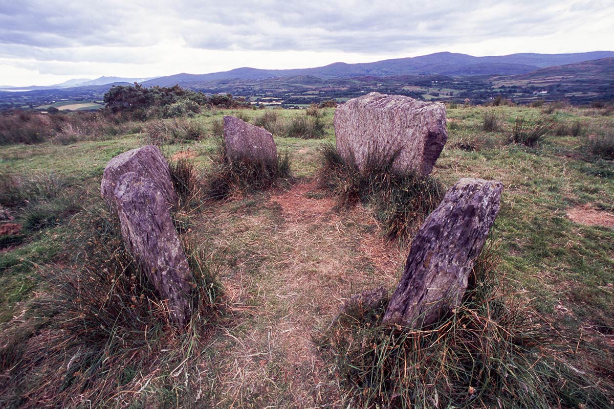 BarrowBarrow, ring-barrow · 117 yd
 Man-made underground passage in Kilclogh (muskerry East By.)Man-made underground passage · 324 yd
 bridgebridge · 1037 yd
 KilnKiln, lime · 1149 yd
 Ballyvodane Castle (in Ruins)Castle, unclassified · 1.2 mi
 Ballyanly Inniscarra Slí na SláinteWalking route · 2.4 mi
 New TipperaryVisitor information · 3.5 mi
 Garrycloyne Castle (in Ruins)Castle, tower house · 3.9 mi
 Bob AdamsMemorial · 3.9 mi
 Pairc Ath Na hEornaMemorial · 4.1 mi
 Oldcastle WoodWood · 4.4 mi
 BatsVisitor information · 4.6 mi