What is recorded here
Fairy fort / earthen ringfort in Kilcash is a fairy fort or earthen ringfort in Kilcash, County Tipperary, Ireland. It occupies the southeast slope of a northeast to southwest ridge, where a roughly circular enclosure measures 27 metres north to south and 32 metres east to west. An earthen bank with some stone surrounds the interior, except on the northwest side where the monument merges into the ridge and relies on an internal scarp for definition. A 2.5 metre entrance opens in the southeast quadrant, while a small boulder sits nearby, possibly marking natural outcrop or field clearance.
On SE-slope of NE-SW running ridge. Stream running near to ringfort to E, in pasture. Main road runs along top of ridge, road has been built up impeding view N. Roughly circular enclosure (diam. 27m N-S; 32m E-W) enclosed by an earthen bank with some stone (Wth 1.9m crest, 4.8m base; H above int. 0.21m; H above ext. 1.34m), except upslope to NW where the monument is built into the ridge and is only defined by an internal scarp (H 0.63m). There is a small boulder in the SE quadrant near the bank, it may be outcrop though other small stones around it appear to be field clearance. Entrance (Wth 2.5m) in SE quadrant. Traces of ring-feeder near the centre of the ringfort. Ringfort evident on aerial photograph (GSI June (no year) S.510/511).
Compiled by: Jean Farrelly
Date of upload: 26 August 2011
The monument record does not grant public access. Check the route and ask the landowner before entering private land.
- What survives
- Recorded monument
Places near here
 Concentric enclosure in KilcashConcentric enclosure · 213 yd
 Enclosure in KilcashEnclosure · 609 yd
 Kilcash WoodForest · 1205 yd
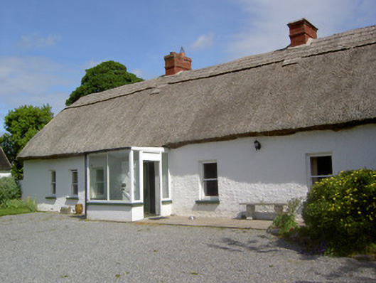 Ballynacloona Cottagehouse · 1305 yd
 Kilcash CastleCastle · 1461 yd
 Kilcash Castle (in ruins)Castle, tower house · 1462 yd
 Kilcash Church (in ruins)Church · 1592 yd
 Wild CherryWild Cherry · 1.1 mi
 Carrigaloe RockNamed rock · 1.3 mi
 Thomas KielyMemorial · 1.9 mi
 Curraghdobbin HillMountain / peak · 2.1 mi
 SlievenamonMountain / peak · 3.4 mi