
What is recorded here
On a NE-facing slope in undulating terrain, turlough at base of hill which floods in winter. Field under tillage for many years. Some sileage wraps have been temporary placed on the former enclosure. Monument is indicated on the 1st (1840) ed. OS 6-inch map as a circular enclosure (dims. c. 32m N-S; c. 37m E-W) with laneway to Woodlands House immediately S and W of the enclosure. It is shown in the same position on the 1901-05 ed. though the shape is more triangular, narrowing to the N and the hachured are facing inward suggesting the monument may have been quarried. There is no visible trace at ground level.
Compiled by: Jean Farrelly
Date of revised upload: 12 January 2015
This remains an important historical record, but the official description says the monument is no longer visible or has been destroyed. The monument record does not grant public access. Check the route and ask the landowner before entering private land.
- What survives
- No visible remains or recorded as destroyed
Places near here
 Concentric enclosure in KilcashConcentric enclosure · 396 yd
 LisbaltingEnclosure · 1117 yd
 Kilcash CastleCastle · 1189 yd
 Kilcash Castle (in ruins)Castle, tower house · 1190 yd
 Kilcash Church (in ruins)Church · 1287 yd
 Kilcash WoodForest · 1469 yd
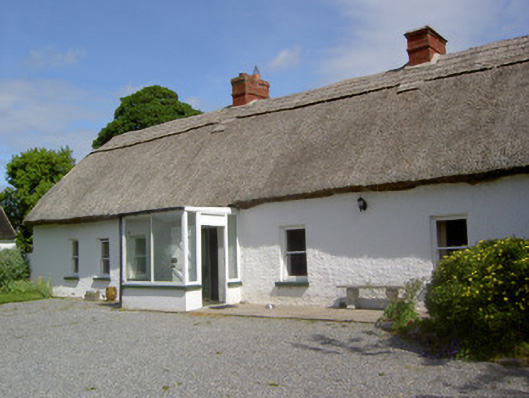 Ballynacloona Cottagehouse · 1.1 mi
 Carrigaloe RockNamed rock · 1.3 mi
 Wild CherryWild Cherry · 1.5 mi
 Thomas KielyMemorial · 2.0 mi
 Curraghdobbin HillMountain / peak · 2.5 mi
 SlievenamonMountain / peak · 3.4 mi
Other information
Photo: Credit not shown in the picture search · Rights wording not checked; contact us if this picture should be removed