What is recorded here
Kilcarrooraun holds a forty-metre earthen ring on a north-west slope, preserving an underground passage and standing stone within its grassy bowl. The fair-condition bank still marks a boundary between ordinary ground and forgotten depth. People may have built the ring for residence, ritual or both, while later tradition recast the same stones as a fairy fort. The drain cut at the western edge shows how quickly human needs can carve through places others treat as sacred.
On a NW-facing slope in rough grazing land. Circular rath (diam. 40m), in fair condition, defined by an earthen bank (Wth 4m; max. H 0.6m). A drain has been cut around the monument at W. There is a Man-made underground passage (GA114-100002-) and standing stone (GA114-100003-) within the interior.
Compiled by: Galway Archaeological Survey, UCG
Date of upload: 5 January 2018
The monument record does not grant public access. Check the route and ask the landowner before entering private land.
- What survives
- Recorded monument
Places near here
 Enclosure in LissadultaEnclosure · 1194 yd
 Castle Dalyhouse · 1256 yd
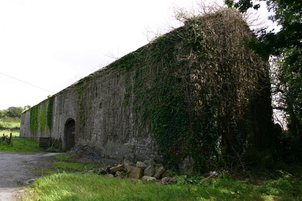 Cappard Houseoutbuilding · 1380 yd
 Enclosure in NewtownblakeEnclosure · 1573 yd
 Castle (in ruins)Castle, Anglo-Norman masonry castle · 1.8 mi
 Rahaly Castle (in ruins)Castle, tower house · 2.0 mi
 KnockapollboyMountain / peak · 3.1 mi
 European ashEuropean ash · 3.5 mi
 HawthornHawthorn · 3.5 mi
 Scalpeen RockNamed rock · 4.1 mi
 KnocknarebanaMountain / peak · 4.5 mi
 Derrybrien Bog SlideHeritage attraction · 5.5 mi