What is recorded here
Scrub now strangles the earthworks, but aerial views reveal a conjoined bivallate ringfort with a north-western annexe. The land holds a concealed shape rather than an obvious monument, inviting imagination to complete what sight refuses.
The following description is derived from the published 'Archaeological Inventory of County Carlow' (Dublin: Stationery Office, 1993). In certain instances the entries have been revised and updated in the light of recent research.
Date of upload/revision: 17 July 2007
Historic Monument No. HM00329, this monument was entered in the Register of Historic Monuments on the 07 June 1972. Shown on 1839 'OS 6-inch' map as circular enclosure (max. diam. c. 50m) with circular annexes at NW (max. diam. c. 30m) and SE (max. diam. c. 45m). shown on 1938-9 ed, as slightly angular enclosure with single annexe at NE. Site covered with scrub and features are difficult to discern. Aerial photographs (CUCAP AYL 16-19) show conjoined bivallate ringfort with annexe to NW (showing only on AYL 18, 19).
A fairy fort or earthen ringfort in Kilcarrig is a circular earthwork enclosure typical of early-medieval Ireland, likely dating to between the 5th and 10th centuries. Local tradition associates such sites with the fairy folk, and they were often avoided for fear of disturbing supernatural inhabitants.
The monument record does not grant public access. Check the route and ask the landowner before entering private land.
- What survives
- Recorded monument
Places near here
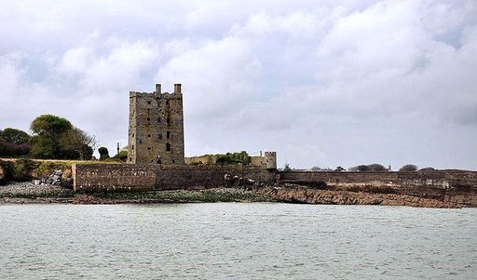 Enclosure in KilcarrigEnclosure · 213 yd
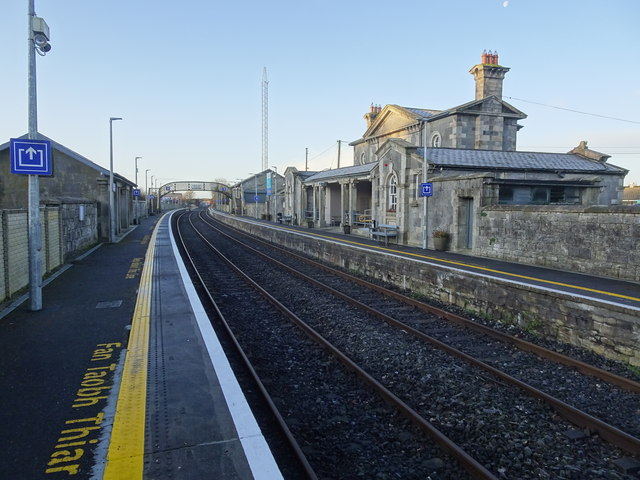 Bagenalstown Railway Stationfoot bridge · 800 yd
 Kilmolappoge Church (site of), Kilmolappoge WellChurch · 928 yd
 Wych ElmWych Elm · 1044 yd
 Saint Andrew's Catholic Churchchurch/chapel · 1216 yd
 The Columban WayVisitor information · 1343 yd
 Lock Keeper's House and Lodge MillsVisitor information · 1.1 mi
 Sweet ChestnutSweet Chestnut · 1.3 mi
 CastleCastle, motte · 1.4 mi
 Dunleckny Ho.Castle, unclassified · 1.4 mi
 Church (in ruins), GraveyardChurch · 1.9 mi
 Church, GraveyardChurch · 3.0 mi