What is recorded here
Kilbradran holds a broken ring where human hands shaped earth into a circle before memory faded. The name gives the fort to fairy folk, but the measure and form point to people who lived, worked and left the land to legend.
In rough pasture, on gentle E-facing slope. Site is contained within a small field immediately to S of derelict farmhouse. Roughly circular area (24.9m N-S; 25.8m E-W) partially enclosed by earthen bank/scarped edge, outer bank and intervening fosse (Wth 2.5m). Inner bank (int. H 0.4m; ext. H 2m) best preserved NNW->NE; otherwise masked by dense overgrowth. Scarped edge (H 2.1m: Wth 4.75m) replaces inner bank NE->E. Outer earthen bank (int. H 0.85m; ext. H 1.05m) best preserved NNE->SW, but is incorporated into field boundary SW->NW. Linear dry-stone wall overlies bank NW->NNE, separating enclosure from farmyard. Gap (W 1.5m) in outer bank at NE. Fosse widens (Wth 3.8m) and is best preserved along N arc. Level interior slopes down gently to S. Southern perimeter and enclosing element on that side are covered by dense overgrowth, otherwise interior under rough pasture.
Compiled by: Denis Power
Date of upload: 26 August 2011
The monument record does not grant public access. Check the route and ask the landowner before entering private land.
- What survives
- Recorded monument
Places near here
 Enclosure in KilbradranEnclosure · 180 yd
 Grave YardGraveyard · 463 yd
 Ballyegny Househouse · 1072 yd
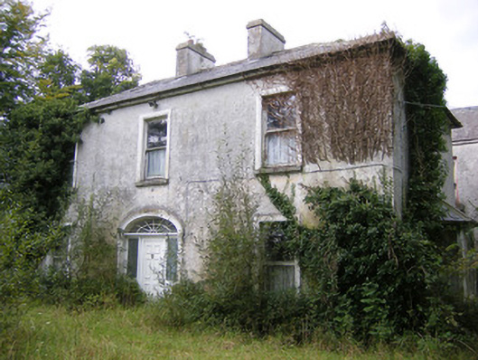 Ballysteen Housecountry house · 1349 yd
 Castle (in ruins)Castle, tower house · 1.0 mi
 Site of CastleCastle, unclassified · 1.6 mi
 St. Luke's WellSpring · 2.0 mi
 St. Kieran's WellSpring · 2.4 mi
 European ashEuropean ash · 5.1 mi
 Askeaton CastleHeritage attraction · 5.2 mi
 Gammarel PointHeadland · 6.0 mi
 Monterey CypressMonterey Cypress · 6.5 mi