What is recorded here
You can stand on the Kilboyne ringfort today and look out over farmland that has changed little in shape, though it has changed completely in meaning. The earthwork is small enough to walk around in a minute, but it has watched that valley for centuries. People built it, lived beside it, forgot it, and remember it again in the name they still use. That is what makes a local landmark worth protecting: not size, but continuity of attention.
Situated on top of a drumlin. This is a subcircular grass and scrub-covered area (dims 25m NW-SE; c. 22m NE-SW) defined by an earthen bank (Wth of base 3.2-3.5m; int. H 0.4-0.8m; ext. H 1.3m at NW to 2.2m at SE) and hedge. The interior is overlain by a NNE-SSW field bank towards the perimeter at SE, and the external fosse, probably re-cut as a drain (Wth of top 4.4m; Wth of base 2.2m; ext. D 0.6m), is only evident E of this feature. The original entrance is not identified.
The above description is derived from the published 'Archaeological Inventory of County Meath' (Dublin: Stationery Office, 1987). In certain instances the entries have been revised and updated in the light of recent research.
Compiled by: Michael Moore
Date of revision: 31 August 2018
The monument record does not grant public access. Check the route and ask the landowner before entering private land.
- What survives
- Recorded monument
Places near here
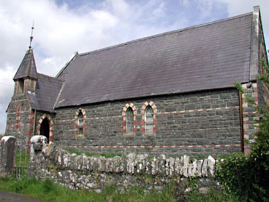 Saint Columba's Church (Moybolgue)church/chapel · 1029 yd
 Enclosure in EdengoraEnclosure · 1086 yd
 Fools FortFairy fort / earthen ringfort · 1.1 mi
 TeevurcherMountain / peak · 2.0 mi
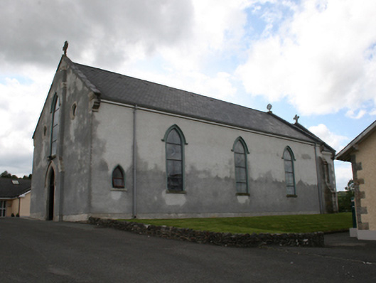 Our Lady of Mount Carmelchurch/chapel · 2.6 mi
 Blackhills LowerMountain / peak · 2.8 mi
 CastleCastle, tower house · 2.8 mi
 Miltown GlenWood · 2.8 mi
 Castle in ruinsCastle, unclassified · 2.9 mi
 Fair of MuffMemorial · 3.0 mi
 LoughanleaghForest · 3.1 mi
 Giants GraveArchaeological place · 4.5 mi