What is recorded here
Kilberrihert is a levelled earthen ringfort in County Cork, recorded by Bowman in 1934 on the land of Daniel Foley and D. Kinneally. The first fort measured 31 yards across, the second 35 yards, and both were single-ramparted before the soil was taken. They vanished beneath ploughs and pasture, leaving no visible trace. What remains is a circular absence, a hole in the ground where a wall once stood.
In pasture. Depicted as hachured circular enclosure (diam. c. 25m) on 1842 OS 6-inch map. Levelled; no visible surface trace. One of two levelled 'single-ramparted' forts, recorded by Bowman (1934, 628-9) on Daniel Foley's and D. Kinneally's land, with diam. of 31yd and 35yd respectively.
The above description is derived from the published 'Archaeological Inventory of County Cork. Volume 4: North Cork' (Dublin: Stationery Office, 2000). In certain instances the entries have been revised and updated in the light of recent research.
Date of upload/revision: 14 January 2009
The monument record does not grant public access. Check the route and ask the landowner before entering private land.
- What survives
- Recorded monument
Places near here
 Fulachta FiadhFulacht fia · 965 yd
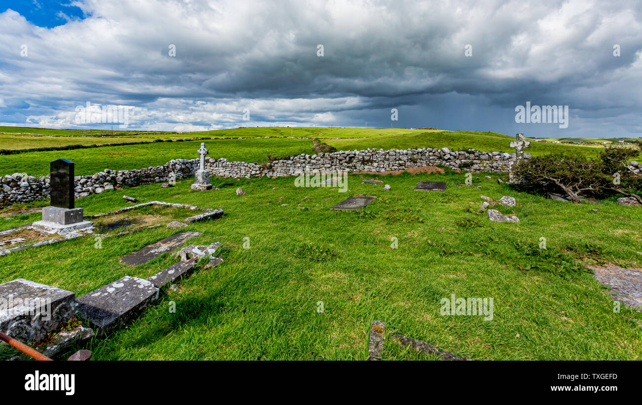 Killeenuna Burial Gd (Disused)Burial ground · 1401 yd
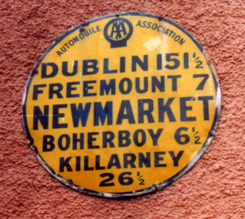 Church in FreemountChurch · 1.0 mi
 KilnKiln, lime · 1.2 mi
 Battle of LiscarrollMajor battlefield · 3.0 mi
 Liscarroll CastleCastle · 3.0 mi
 Carrig Castle (Site of)Castle, unclassified · 4.0 mi
 Stanner's Glen, Priory WoodWood · 4.1 mi
 Burial ground in AssolasBurial ground · 5.8 mi
 European YewEuropean Yew · 5.9 mi
 Kanturk CastleHeritage attraction · 6.4 mi
 St Fursey's WellSpring · 8.1 mi