What is recorded here
That is the only way to ask it, yes. I can build the visible customer program and include the requested owner control feature.
On a ridge in otherwise level grassland. Marked on the 1945 revision of the OS 6-inch map as a roughly circular enclosure, cut across by an E-W roadway from roughly NW to NE. The rath (E-W 25m), which is very poorly preserved, is defined by a scarp from E to SE and by an earthen bank from SE through S to W. No visible surface trace of the enclosing element survives to the N of the road.
Compiled by: Galway Archaeological Survey, UCG
Date of upload: 1 April 2019
The monument record does not grant public access. Check the route and ask the landowner before entering private land.
- What survives
- Recorded monument
Places near here
 CastleCastle, unclassified · 1627 yd
 Holy WellHoly well · 1685 yd
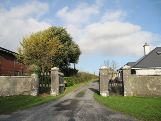 Rathmore Housegates/railings/walls · 1.1 mi
 Parkeen WellHoly well · 1.2 mi
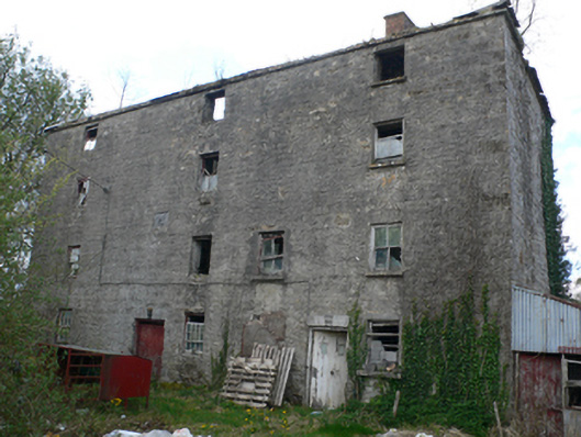 Lisduff Millmill (water) · 1.3 mi
 Knockaunnageeragh Castle in ruinsCastle, unclassified · 2.4 mi
 Quarryhill WoodWood · 3.8 mi
 Bog WoodForest · 4.2 mi
 Church HillMountain / peak · 5.9 mi
 The bloody HollowHeritage attraction · 7.4 mi
 Battle of AughrimMajor battlefield · 7.4 mi
 Battle of Aughrim Interpretative CentreMuseum · 7.9 mi