What is recorded here
Monument surveyed by ASI in 1971 and described as following; 'A large broad oval area (diam. 31m N-S; 32m E-W) defined by a scarp with traces of a low bank of earth and stone at its upper edge. Modern field fences run just outside the perimeter on the S and E and the site is thus in the SE corner of a field. The scarp is low but is fairly well preserved all round, stone visible in the face of the scarp on E-S could be the remains of stone facing. The bank is very poorly preserved and is discernible only on the SSE-S-SW. The perimeter has been defaced by cattle in places but a gap on the SE may represent an original entrance. The interior is uneven and rises irregularly steeply from N and more gradually from S towards a central E-W spine on ridge which is at a considerably higher level than the perimeter on the N and on the S. There are 2 semi-rectangular depression, shallow and probably due to disturbance, on the S just inside the perimeter. There are a number of stones visible in the surface of what may be the footing of a stone wall/fence along the N edge of the top of the E-W central ridge, but this is very indefinite. The interior is overgrown with hazel and thorns. The site is on a natural rise in undulating pasture land. There are fairly good views to the N, W and S but the view to the E is blocked by slightly higher ground' (SMR File 22/09/1978).
Compiled by: Caimin O'Brien
Date of upload: 18 February 2013
The monument record does not grant public access. Check the route and ask the landowner before entering private land.
- What survives
- Recorded monument
Places near here
 IndicatedEnclosure · 367 yd
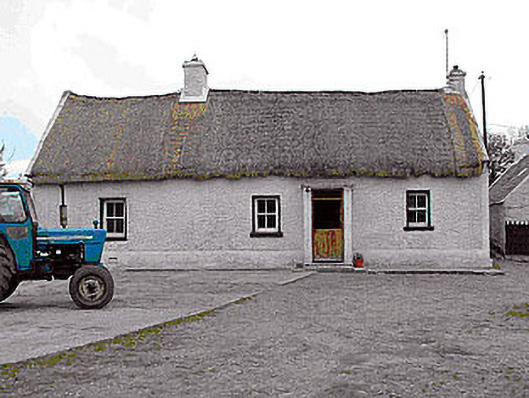 farm housefarm house · 1416 yd
 KilnKiln, corn-drying · 1455 yd
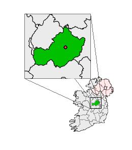 Partially outlinedCastle, unclassified · 1.2 mi
 Site of CastleCastle, tower house · 1.2 mi
 Sam's ParkForest · 4.7 mi
 Hill of UisneachMountain / peak · 5.2 mi
 Bonfire HillMountain / peak · 5.3 mi
 Ardan WoodWood · 5.3 mi
 Kilmalady HillMountain / peak · 5.4 mi
 St. Columba's WellSpring · 6.9 mi