What is recorded here
Kilbaha South is an empty field. The fort is gone, erased by ploughs and time. What remains is a shape in memory: a circle drawn on old maps, now smoothed into grass. Fairies may have built it, or people may have forgotten it. Both are possible. Neither can be proved. The land keeps its own secrets, and sometimes love means releasing what cannot be known.
Situated immediately NE of KE012-002----, this site is not marked on the 1841-42 map but appears as a circular enclosure on the 1915 map. It has been completely levelled and no visible trace survives.
The above description is derived from C. Toal, ‘North Kerry Archaeological Survey’. Dingle. Brandon in association with FAS Training and Employment Authority (1995), no. 443. In certain instances the entries have been revised and updated in the light of recent research.
Date of upload: 2 August 2013
This remains an important historical record, but the official description says the monument is no longer visible or has been destroyed. The monument record does not grant public access. Check the route and ask the landowner before entering private land.
- What survives
- No visible remains or recorded as destroyed
Places near here
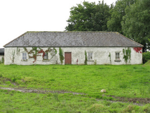 farm housefarm house · 877 yd
 Enclosure in Kilbaha WestEnclosure · 1626 yd
 ToberreendoneyHoly well · 1.1 mi
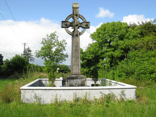 Goold Monumentmonument · 1.5 mi
 Lawson's CypressLawson's Cypress · 2.2 mi
 Castle (in ruins)Castle, unclassified · 2.3 mi
 Tarmon Castle (in ruins)Castle, unclassified · 5.1 mi
 John B. KeaneMemorial · 6.7 mi
 Statue of SchillerMemorial · 6.7 mi
 Tarbet BayBay · 7.1 mi
 Kerry Writers' MuseumMuseum · 7.2 mi
 Lartigue MonorailMuseum · 7.2 mi