What is recorded here
In low-lying pasture, on gentle NNW-facing slope. Monument, depicted as roughly circular embanked enclosure (diam. c. 30m) on 1841 OS 6-inch map, has been partially levelled. Denuded earthen bank (int. H 0.6m; ext. H 0.65m) survives S->W, and earthen field boundary (H 1.2m) NNW->SE may incorporate enclosing bank. Marshy interior under rough pasture; NW quadrant is slightly higher than remainder of interior. Farm passage cuts through W side of interior on NNW-SSE axis.
Compiled by: Denis Power
Date of upload: 26 August 2011
The monument record does not grant public access. Check the route and ask the landowner before entering private land.
- What survives
- Recorded monument
Places near here
 Burnt mound in Gardenfield SouthBurnt mound · 883 yd
 DromcolliherSettlement cluster · 1016 yd
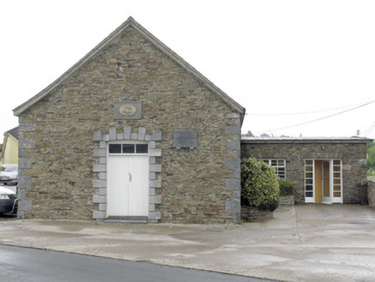 National Dairy Co-Operative Museumcreamery · 1025 yd
 National Co-op MuseumMuseum · 1026 yd
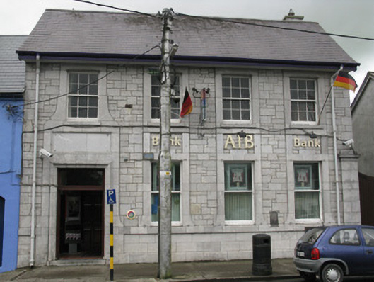 Allied Irish Bankbank/financial institution · 1037 yd
 ToberacappeenSpring · 1209 yd
 CastleCastle, unclassified · 1261 yd
 Castle LisheenCastle · 2.0 mi
 ToberhoranSpring · 2.6 mi
 Mullaghareirk - Banane LoopWalking route · 6.6 mi
 Battle of LiscarrollMajor battlefield · 7.4 mi
 Ballagh MountainMountain / peak · 7.5 mi