What is recorded here
Keeloge holds a destroyed thirty-three metre ringfort on rising ground above flat northern land. A modern road cuts through the southern half, leaving only a faint earth ridge for anyone to imagine. The fort may have watched valleys, sheltered neighbours or marked a boundary before forgetting itself under soil and traffic.
Situated on rising ground in upland area overlooking low-lying flat land to the N. All that remains is the barely discernible outline of a destroyed ringfort (diam 33m) with modern road intersecting S half of site. No other features were visible.
The above description is derived from the published 'Archaeological Inventory of County Offaly' (Dublin: Stationery Office, 1997). In certain instances the entries have been revised and updated in the light of recent research.
Date of upload: 23 May 2011
The monument record does not grant public access. Check the route and ask the landowner before entering private land.
- What survives
- Recorded monument
Places near here
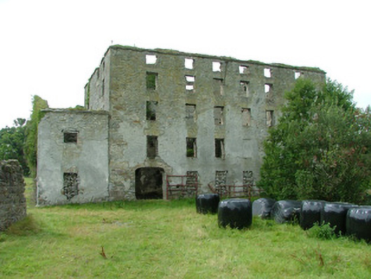 mill (water)mill (water) · 573 yd
 Fulacht fia in AdruelFulacht fia · 729 yd
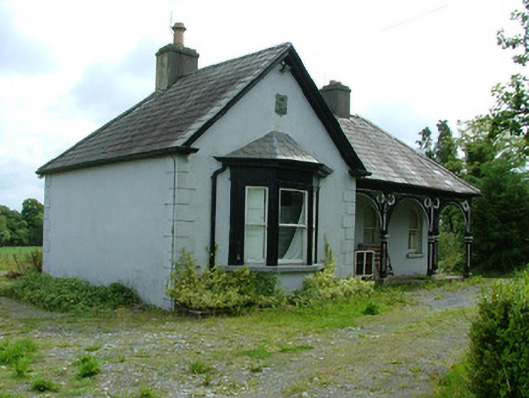 Glasshousegate lodge · 744 yd
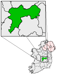 IndicatedFairy fort / earthen ringfort · 1259 yd
 Bawn in ShinroneBawn · 1590 yd
 Cangort WoodWood · 1.2 mi
 Site of CastleCastle, unclassified · 1.4 mi
 Warren WoodWood · 2.4 mi
 Eagle HillMountain / peak · 3.6 mi
 Golden Grove HillMountain / peak · 4.5 mi
 Thomas MacDonagh Heritage CentreMuseum · 5.1 mi
 MacDonagh HouseMemorial · 5.1 mi