What is recorded here
Kealanine holds a circular earthen fort thirty-one metres wide, its solid bank rising three metres above the pasture. People built the stone-faced entrance and internal walls to control access, exclude predators, or simply keep dry during violent Atlantic storms. The fairies joined later, occupying the human shape and waiting for pride or hunger to draw someone inside.
In pasture, on break in SE-facing slope of NE-SW ridge. Circular, raised area (29m N-S; 31m E-W) enclosed by earthen bank (max. H 3.1m), stone faced in parts internally; external fosse (D 0.6m). Entrance to SE (Wth 3.8m), stone faced.
The above description is derived from the published 'Archaeological Inventory of County Cork. Volume 1: West Cork' (Dublin: Stationery Office, 1992). In certain instances the entries have been revised and updated in the light of recent research.
Date of upload/revision: 14 January 2009
The monument record does not grant public access. Check the route and ask the landowner before entering private land.
- What survives
- Recorded monument
Places near here
 Wedge tomb in Kealanine (carbery W. (w.d) By.)Wedge tomb · 487 yd
 Man-made underground passage in Kilmore (carbery West (e.d) By.)Man-made underground passage · 1015 yd
 Dromore Schoolschool · 1.5 mi
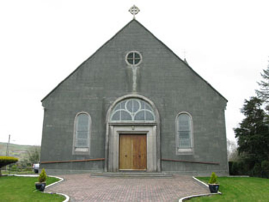 St. Joseph's Roman Catholic Churchchurch/chapel · 1.7 mi
 Francis O'Neill PlaqueMemorial · 2.0 mi
 Castle DonovanCastle · 2.3 mi
 Castle Donovan (in Ruins)Castle, tower house · 2.3 mi
 Delish Cascade WalkWalking route · 2.4 mi
 Mullach MéiseMountain / peak · 2.5 mi
 Moyny Bridge WalkWalking route · 2.5 mi
 Nowen Hill SW TopMountain / peak · 4.0 mi
 Seskin ViewViewpoint · 5.0 mi