What is recorded here
Situated on the NE end of a low ridge running NW-SE in wet partially reclaimed grassland. Bog 70m to NW. Inny River 380m to SE. An oval enclosure (approx. diam. 28m NW-SE; 36m NE-SW) enclosed by a poorly preserved fragmentary earthen bank, a deep wide fosse and substantial outer bank, which has been levelled from NE-E, with modern gaps at SE & SW. The interior slopes slightly from SW-NE. In the SW sector of the interior is a sub-rectangular/trapezoidal shaped platform enclosed by a fosse. On the NE side of the monument is a sub-rectangular annexe (approx. dims 37m NE-SW; 33m NE-SW) enclosed by a poorly preserved earthen bank mainly reduced to a scarp. In the SE sector of the annexe there is a rectilinear platform enclosed by a slight fosse which could be the remains of a hut site but this is uncertain.
Compiled by: Frank Coyne & Caimin O'Brien
Date of upload: 1 February 2017
The monument record does not grant public access. Check the route and ask the landowner before entering private land.
- What survives
- Recorded monument
Places near here
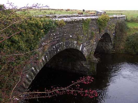 Ballinalack Bridgebridge · 617 yd
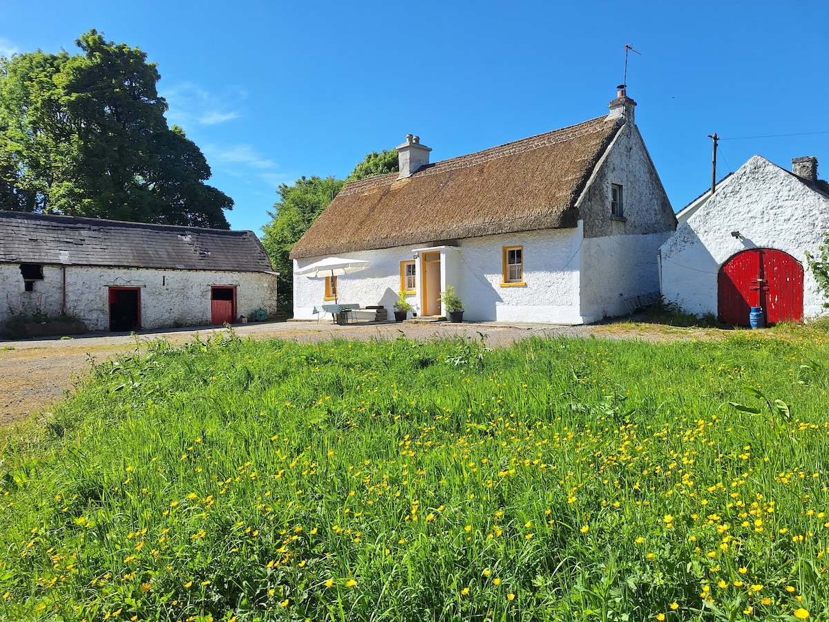 OutlinedCastle, unclassified · 700 yd
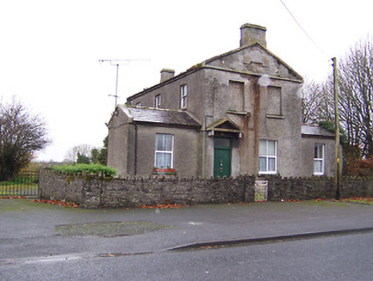 RIC barracksRIC barracks · 807 yd
 CastleCastle, unclassified · 1247 yd
 Crannog in Cullenhugh,lough IronCrannog · 1.2 mi
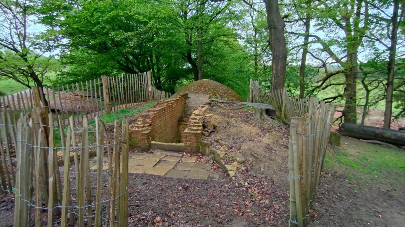 Icehouse in Baronstown DemesneIcehouse · 1.4 mi
 Baronstown ForestWood · 2.2 mi
 Horse-chestnutHorse-chestnut · 2.2 mi
 Rock of CurryCliff · 9.5 mi
 Mullaghmeen ForestPicnic place · 12 mi
 MullaghmeenMountain / peak · 12 mi
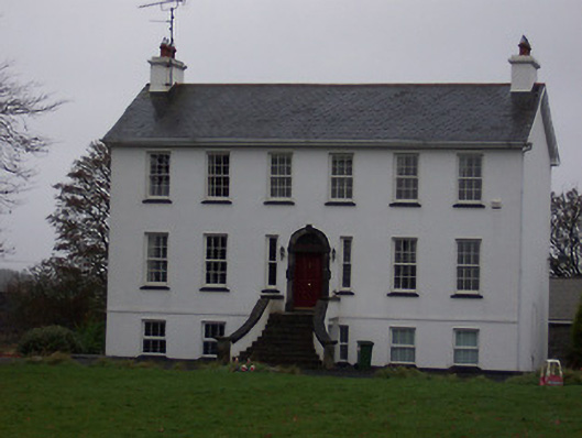 Ballinalack Househouse · 848 yd