What is recorded here
Jamesbrook lost its fairy fort before anyone measured the hole it left behind. Power recorded the demolished lios in 1940, yet even that account pointed to absence rather than stones. The field may still hide a shallow circle, a difference in soil colour or a line where grass grows taller. People forgot the shape, but the land kept the fact that a fort once stood there.
According to Power (1940, 102) 'site of demolished lios' in this townland. Exact location not known.
The above description is derived from the published 'Archaeological Inventory of County Cork. Volume 2: East and South Cork' (Dublin: Stationery Office, 1994). In certain instances the entries have been revised and updated in the light of recent research.
Date of upload/revision: 14 January 2009
The monument record does not grant public access. Check the route and ask the landowner before entering private land.
- What survives
- Recorded monument
Places near here
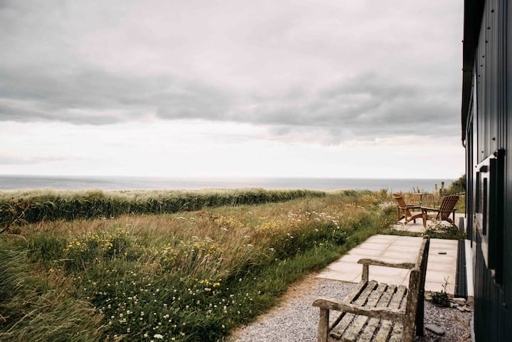 Jamesbrook HallCountry house · 391 yd
 Grave YdGraveyard · 396 yd
 View of Rostellan DolmenRuins · 444 yd
 Garrankinnefeake GraveyardRuins · 460 yd
 Saleen old mine bridgeRuins · 680 yd
 (Site of) CastleCastle, unclassified · 1543 yd
 CastleCastle, unclassified · 1.2 mi
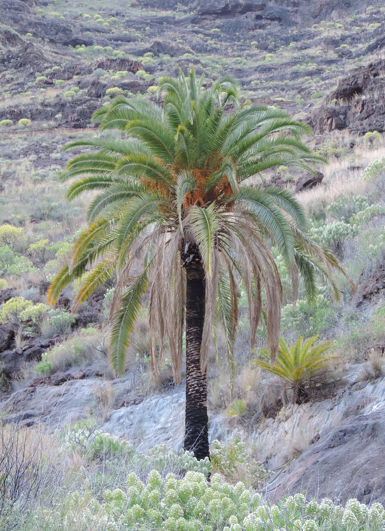 Canary Island date palmCanary Island date palm · 1.3 mi
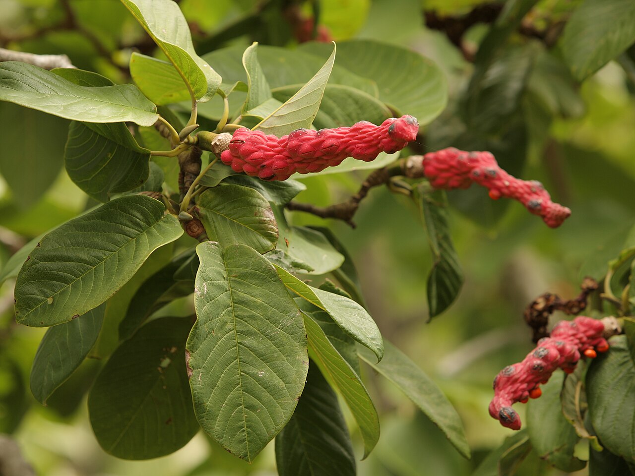 Campbell's MagnoliaCampbell's Magnolia · 1.4 mi
 Site of old schoolHeritage attraction · 1.8 mi
 US Naval Air Station USNAS QueenstownHeritage attraction · 1.9 mi
 Graveyard in AghadaGraveyard · 2.2 mi