What is recorded here
Half-hidden in tall grass above the Cummeenboy, the fort still keeps its shape: a round bank, a cut moat, and a broken place where cattle walked through. It is the kind of house people built quickly when they wanted to belong somewhere and leave before winter. The underground passage beside it suggests more than a farmyard, perhaps a hiding place or a room for what cannot be carried.
In pasture, on a rise, on the W side of the valley of the Cummeenboy stream. A circular area (37.5m E-W; 37m N-S) defined by an earthen bank (Wth 3.9m; int. H 0.4m; ext. H 1.55m) E-NE and by a scarp NE-E. An external fosse (Wth 1.2m; D 0.4m) is evident NE-N. Cattle-breaks are evident at NE and at SW. The external face of the bank has been cut back N-NE giving an almost vertical external face. The interior, which is raised above the surrounding ground level, is heavily overgrown and slopes gently down to the NE. There is a Man-made underground passage (KE084-021001-) in the interior.
The above description is derived from the published 'Archaeological Inventory of County Kerry. Volume I: South-West Kerry' (Dublin: Stationery Office, 2009). In certain instances the entries have been revised and updated in the light of recent research.
Date of upload: 30 May 2011
The monument record does not grant public access. Check the route and ask the landowner before entering private land.
- What survives
- Recorded monument
Places near here
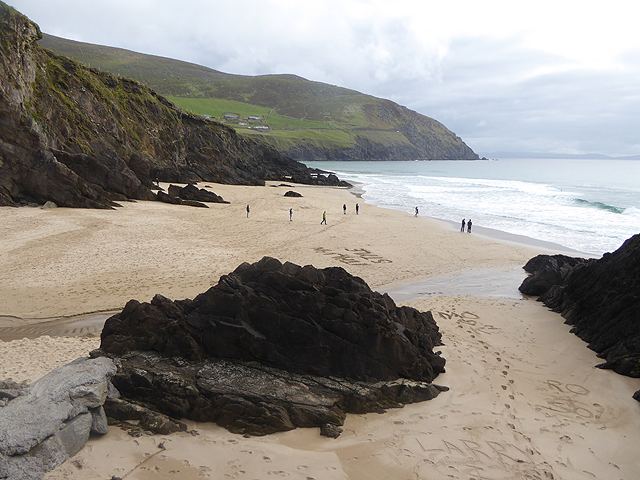 Man-made underground passage in CummeenboyMan-made underground passage · 700 yd
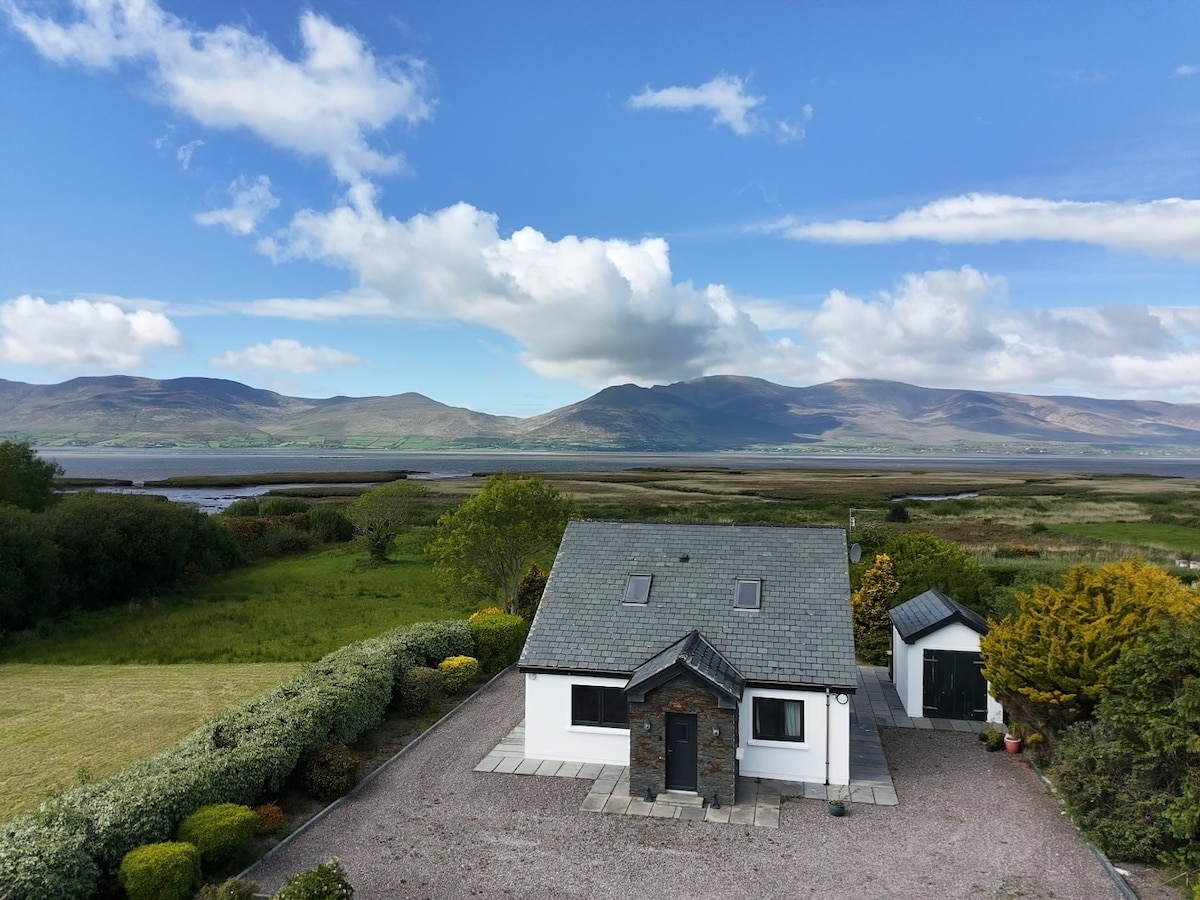 IndicatedFairy fort / earthen ringfort · 1107 yd
 CoombaneMountain / peak · 1.3 mi
 KnockanaguishMountain / peak · 1.4 mi
 Shanagarry Castle (Site of)Castle, unclassified · 1.8 mi
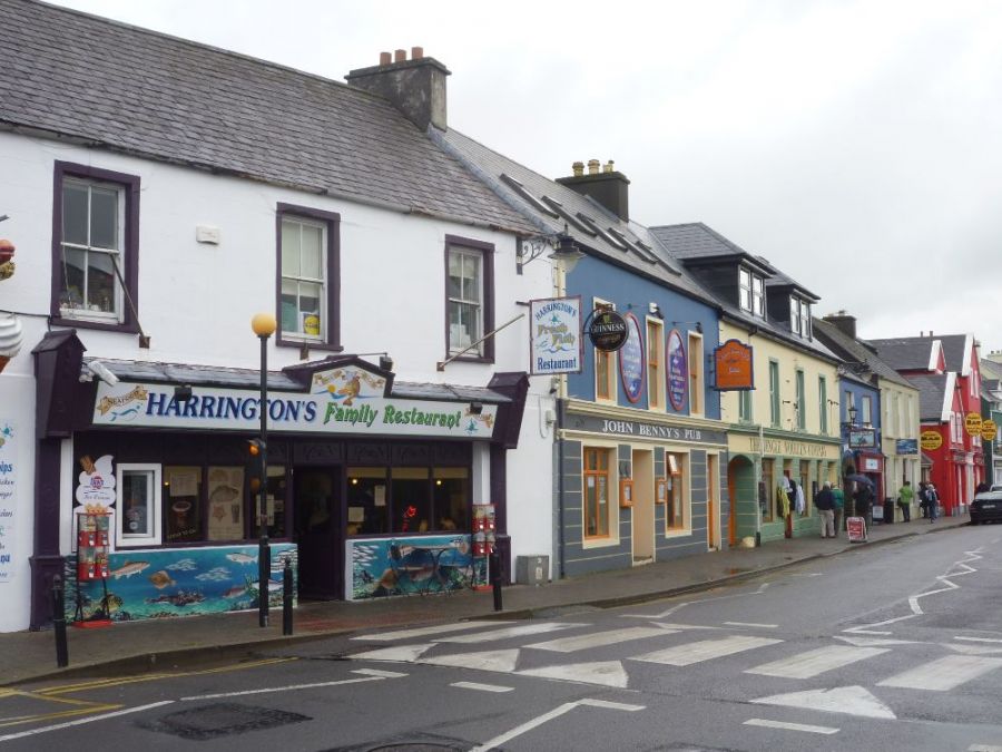 Sahaleen Br.Bridge · 1.8 mi
 Lead Mine (Disused).Mine, lead · 2.0 mi
 CastleCastle, unclassified · 2.4 mi
 The Lodge WoodWood · 2.5 mi
 Kenmare Tourist Information OfficeVisitor information · 2.6 mi
 Monterey CypressMonterey Cypress · 2.6 mi
 Kenmare Heritage Town - Main StreetMemorial · 2.6 mi