What is recorded here
Island-Dahill holds a broken earthen ring where human hands shaped the slope before memory faded. The bank still stands low against the pasture, marked by a eastern gap and a hidden passage that may cut through the earth beneath the grass. nettles and briars fill the centre now, suggesting the fort was abandoned rather than destroyed. It remains a quiet warning that the land remembers more than it reveals.
In pasture, on break in N-facing slope. Circular area (diam. c. 25m) enclosed by low earthen bank (int. H 0.6m; ext. H 0.8m). Bank heavily overgrown; break (Wth c. 2m) to E. Fosse survives as slight slope down to base of bank. Interior covered in nettles and briars. Possible Man-made underground passage (CO030-229---) in ringfort.
The above description is derived from the published 'Archaeological Inventory of County Cork. Volume 4: North Cork' (Dublin: Stationery Office, 2000). In certain instances the entries have been revised and updated in the light of recent research.
Date of upload/revision: 14 January 2009
The monument record does not grant public access. Check the route and ask the landowner before entering private land.
- What survives
- Recorded monument
Places near here
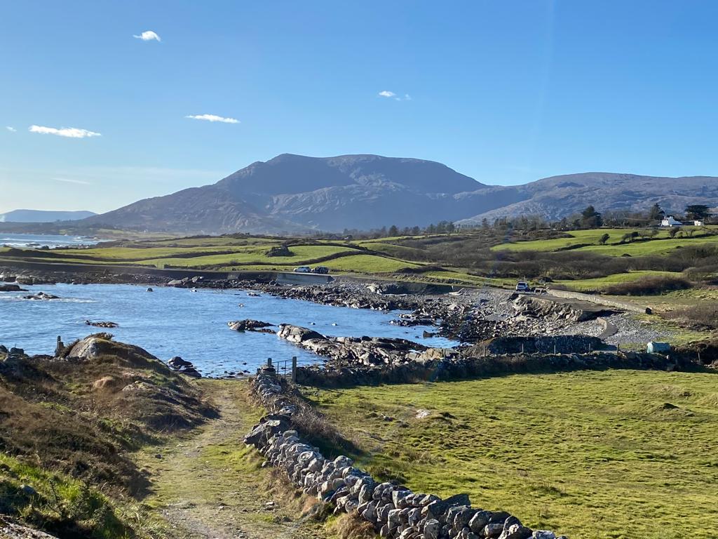 Man-made underground passage in Island-DahillMan-made underground passage · 1 yd
 KilnKiln, lime · 376 yd
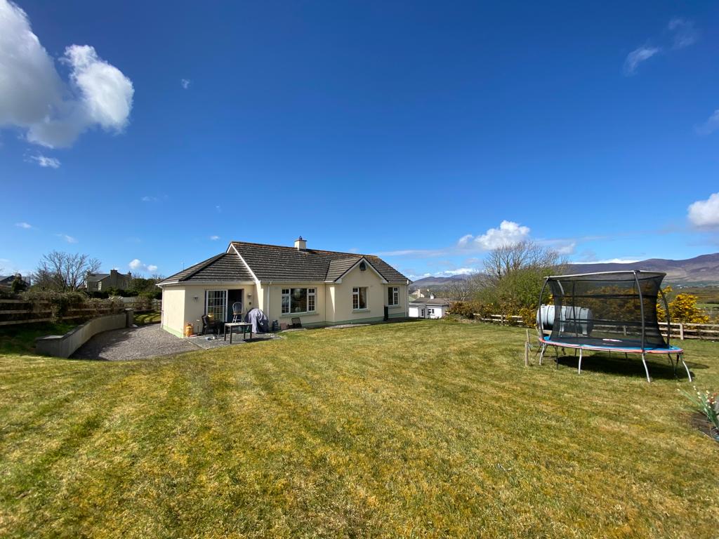 Man-made underground passage in Cloonbannin EastMan-made underground passage · 783 yd
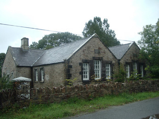 Old School Houseschool · 938 yd
 Drominagh Castle (Site of)Castle, unclassified · 1465 yd
 Castle (Site of)Bawn · 2.1 mi
 Rathcool WoodWood · 2.8 mi
 Battle of Knocknaclashybattle · 2.9 mi
 Millstreet Tourist InformationVisitor information · 4.8 mi
 St. Patrick's ChurchVisitor information · 4.8 mi
 Millstreet Museum & Tourist Information CentreMuseum · 4.8 mi
 RowanRowan · 5.6 mi