What is recorded here
Situated on a knoll in the valley of the River Blackwater with a NNW-SSE section of the stream c. 200m to the E. This feature is not depicted on any map but is visible on aerial photographs (GSIAP: N 266, 267) and on later series. It is a raised circular and grass-covered platform (diam. 17.5m NW-SE; 16.5m NE-SW) defined by an earthen bank (at SE: Wth of base 4.8m; int. H 0.3m; ext. H 1m) NE-S-W and by a scarp (H 0.4m) elsewhere. There is no visible fosse or identifiable original entrance.
The above description is derived from the published 'Archaeological Inventory of County Meath' (Dublin: Stationery Office, 1987). In certain instances the entries have been revised and updated in the light of recent research.
Compiled by: Michael Moore
Date of revision: 15 April 2019
The monument record does not grant public access. Check the route and ask the landowner before entering private land.
- What survives
- Recorded monument
Places near here
 Rath DhuCeremonial enclosure · 895 yd
 Ecclesiastical enclosure in TailtinEcclesiastical enclosure · 958 yd
 TuliptreeTuliptree · 1339 yd
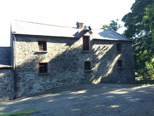 Martry Millmill (water) · 1341 yd
 Lough WoodWood · 1647 yd
 Scoil Náisiúnta Chaitríona Naofaschool · 1.1 mi
 CastleCastle, unclassified · 1.4 mi
 BallybegMountain / peak · 1.7 mi
 Clongill CastleCastle, tower house · 2.3 mi
 Faughan HillMountain / peak · 2.6 mi
 Saint John's CemeteryMemorial · 3.6 mi
 The Parnell GardenMemorial · 3.7 mi