
What is recorded here
Fairy fort / earthen ringfort in Houndswood Middle is a circular raised area in good pasture, enclosing a central hut site marked by low stone foundations. People may have lived there before the land changed, or perhaps the fairies simply claimed the stones and waited for humans to forget. Either way, the ring remains visible enough to walk around and odd enough to remember.
In good pasture. Circular raised area (26m N-S; 29m E-W), enclosed by low bank (H 0.2m) of earth and stone. Circular hut site (ext. dims. 7.8m N-S; 8.3m E-W) (MA121-143001-) in centre of interior, defined by low stone foundations (H 0.2m; Wth 1.2m).
The above description has been derived from D. Lavelle (compiler), An Archaeological Survey of Ballinrobe and District including Lough Mask and Lough Carra. Lough Mask and Lough Carra Tourist Development Association (1994), No. 169.
Date of upload: 13 January 2015
The monument record does not grant public access. Check the route and ask the landowner before entering private land.
- What survives
- Recorded monument
Places near here
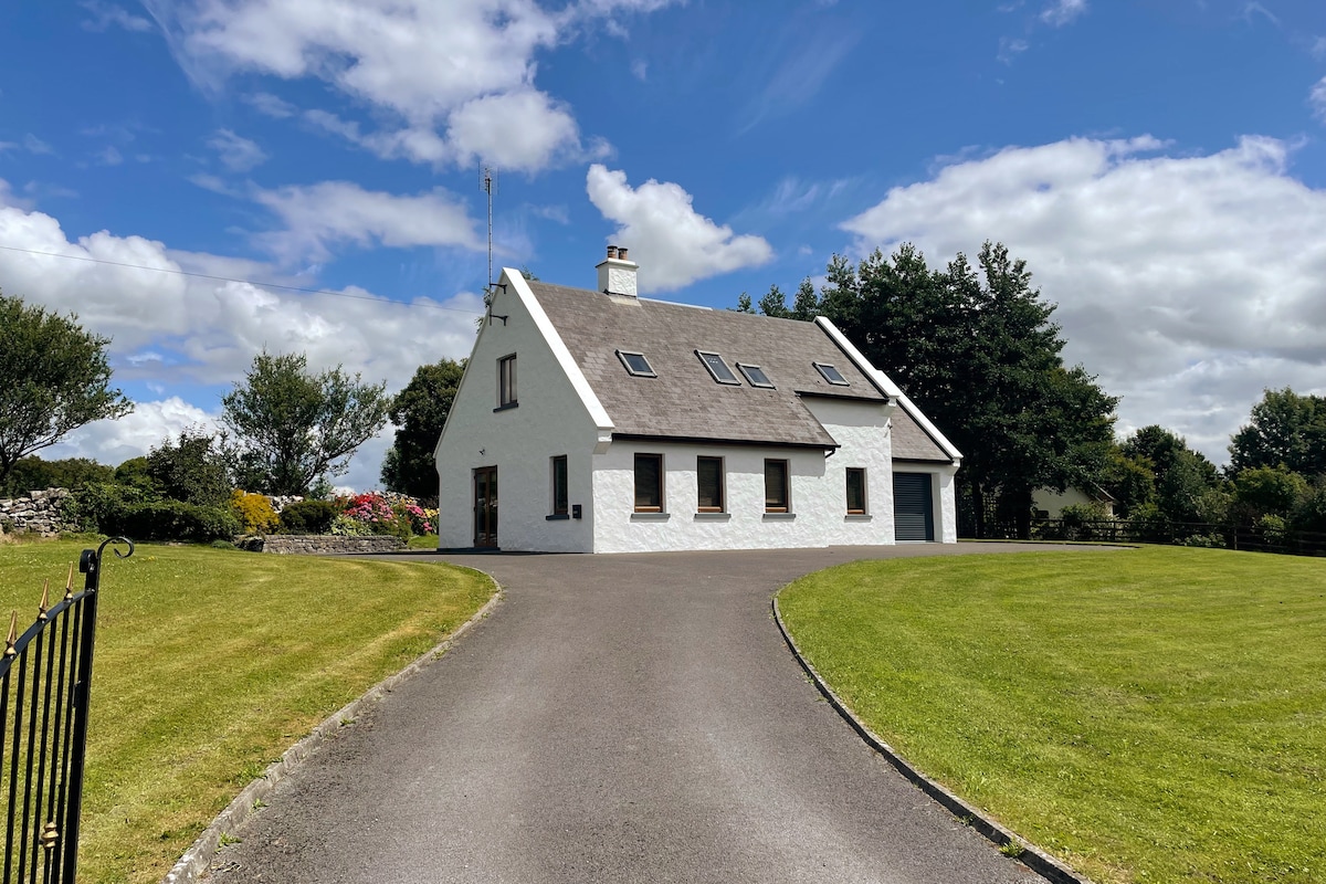 IndicatedEnclosure · 1012 yd
 Enclosure in Cross EastEnclosure · 1504 yd
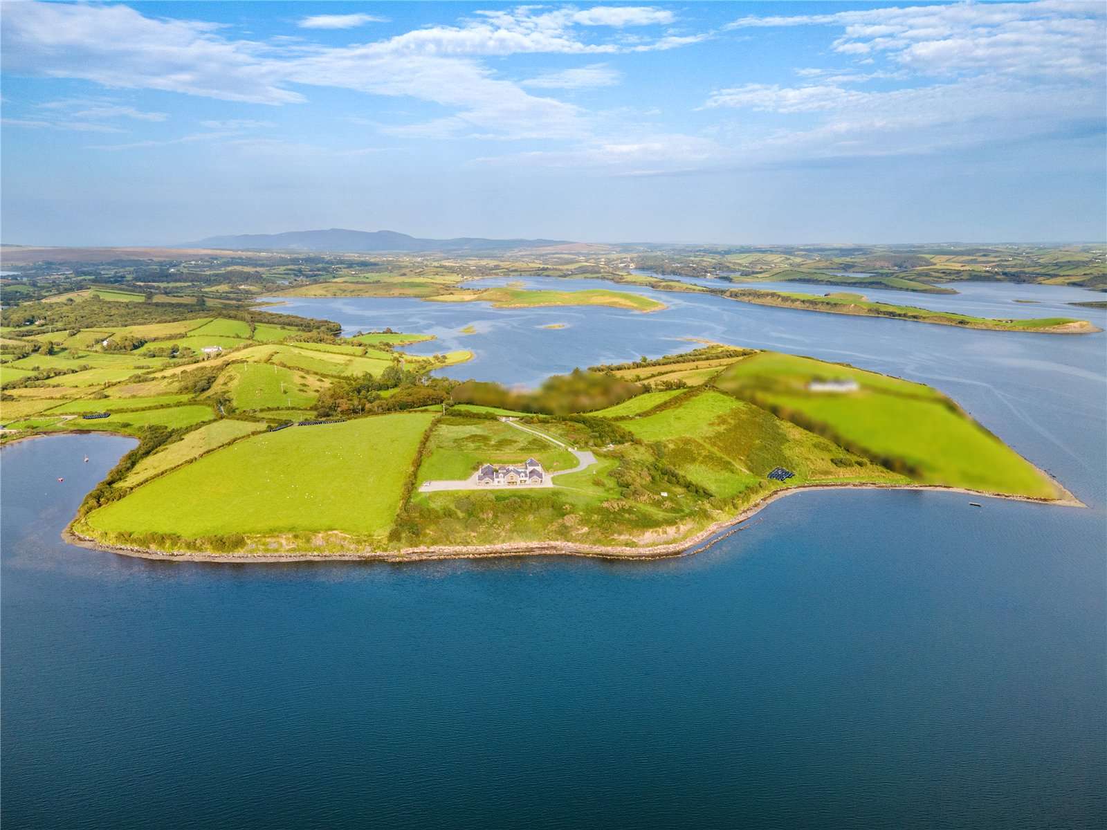 CastleCastle, tower house · 1566 yd
 Mocorha CastleCastle · 1.2 mi
 Church in KilmacduaghChurch · 1.2 mi
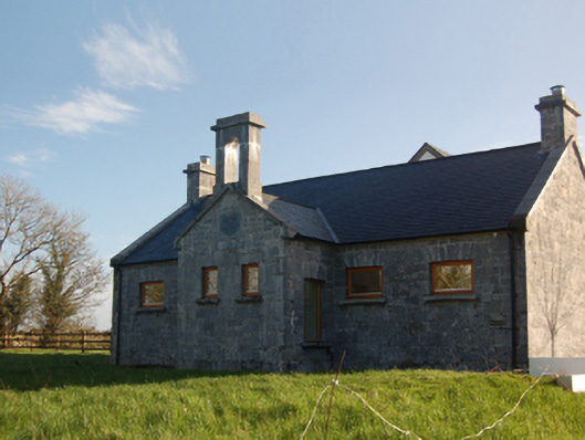 Castletown School Houseschool · 1.4 mi
 Gibbs IslandsIslet · 2.3 mi
 Red Island RockIslet · 3.0 mi
 Cregg PlantationForest · 3.9 mi
 Ross Errilly FriaryHeritage attraction · 4.3 mi
 Cong AbbeyHeritage attraction · 4.4 mi
 Silver FirSilver Fir · 4.4 mi
Other information
Photo: Credit not shown in the picture search · Rights wording not checked; contact us if this picture should be removed