What is recorded here
Fairy forts are human ringforts misnamed by later folklore, and Highpark is one of them: a levelled circular enclosure in County Limerick pasture, still marking its bounds through a scarped edge, external fosse and counter-scarp bank. It would have stood out on gently undulating ground, giving views in every direction and a defensible or domestic centre for the people who cut and banked it. The fairies belong to the story told afterward; the earthwork belongs to the neighbours who shaped it.
Situated in gently undulating, poorly-drained pasture with good views in all directions. Indicated on 1923 OS 6-inch map as an embanked circular enclosure. The monument has been levelled but is still evident as a roughly circular area (40m E-W; 36.5m N-S) defined by a scarped edge (Wth 5.3m; H 0.4m) with an external fosse (Wth 4.8m) and counter-scarp bank (int. H 0.3m; Wth 4.4m; ext. H 0.4m). There is a gap in the bank (Wth. 4m) in ESE. The interior slopes gently down to S.
Compiled by: Denis Power
Date of upload: 18 June 2013
The monument record does not grant public access. Check the route and ask the landowner before entering private land.
- What survives
- Recorded monument
Places near here
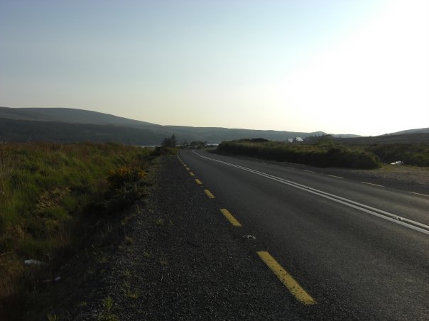 RoadRoad, road/trackway · 526 yd
 Enclosure in CloghnadrominEnclosure · 657 yd
 Highpark Housecountry house · 691 yd
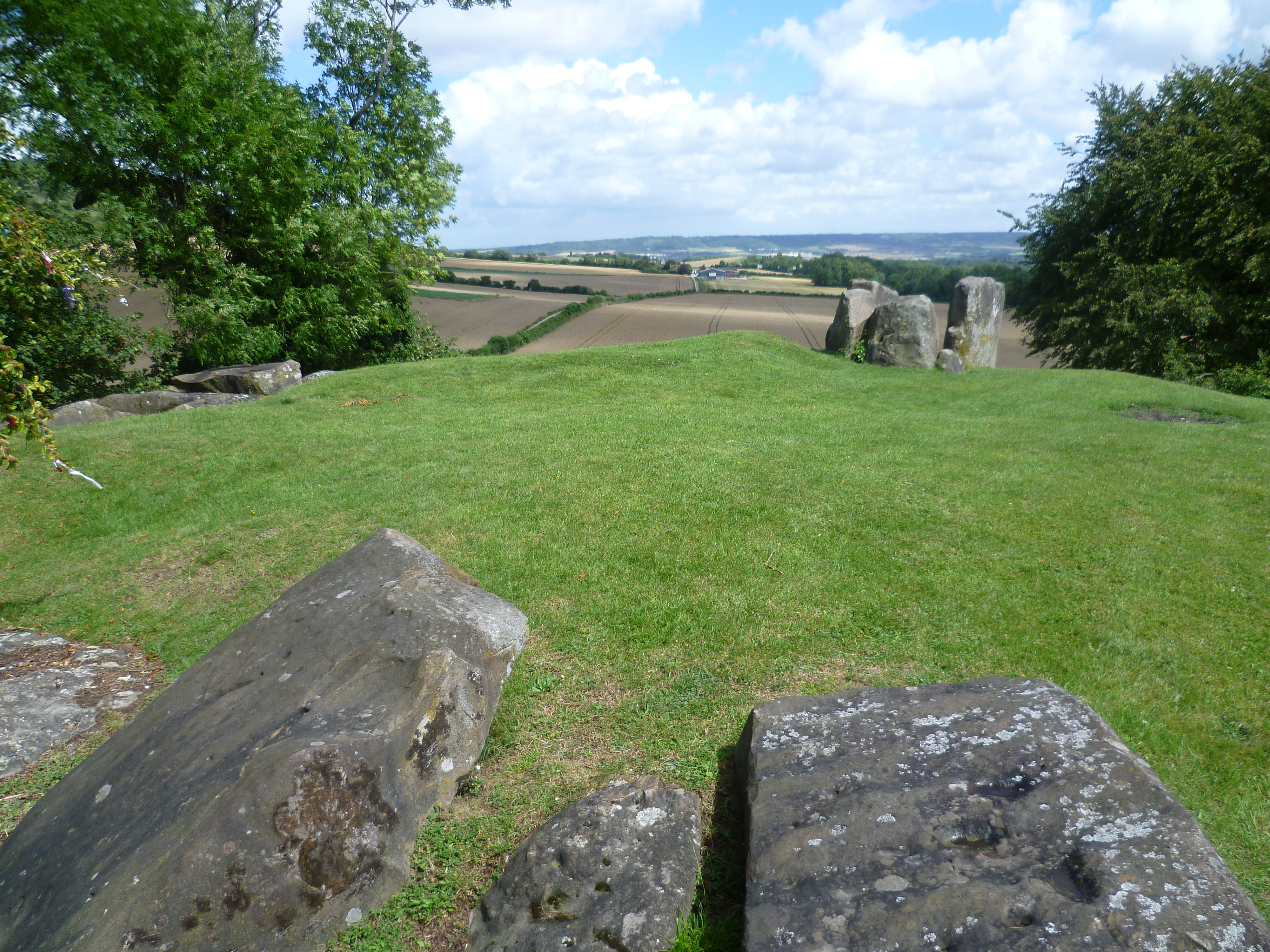 BarrowBarrow, ring-barrow · 837 yd
 Bawn in CarrigarreelyBawn · 1.0 mi
 Greenan CastleCastle · 1.6 mi
 Wych ElmWych Elm · 1.9 mi
 St Lawrence's WellSpring · 2.0 mi
 Graveyard in AbingtonGraveyard · 3.3 mi
 Sliev Felim WayVisitor information · 4.6 mi
 Campus MapVisitor information · 4.8 mi
 Fountain SculptureHeritage attraction · 4.9 mi