What is recorded here
No amount of thinking can invent facts about a closed website.
Situated in a low-lying position between drumlins, with an E-W stream turning S just W of the monument. This is depicted as a hachured scarp SE-SW (C c. 45m) only on the 1908 edition of the OS 6-inch map. A low scarp (H 0.5m) survives SE-SW (Chord c. 45m) in pasture. There is no visible fosse or entrance. It was probably a rath, and rath (ME006-024----) is c. 100m to the ENE, on the other side of the stream.
The above description is derived from the published 'Archaeological Inventory of County Meath' (Dublin: Stationery Office, 1987). In certain instances the entries have been revised and updated in the light of recent research.
Revised by: Michael Moore
Date of revision: 26 October 2018
The monument record does not grant public access. Check the route and ask the landowner before entering private land.
- What survives
- Recorded monument
Places near here
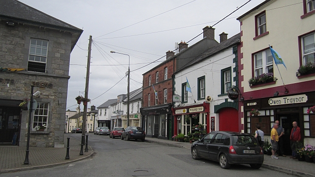 IndicatedFairy fort / earthen ringfort · 1424 yd
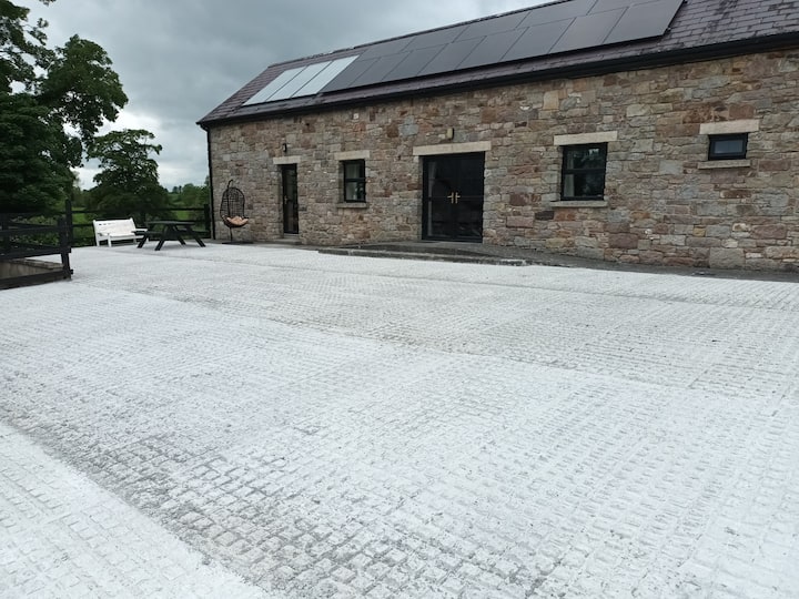 RathcarnFairy fort / earthen ringfort · 1597 yd
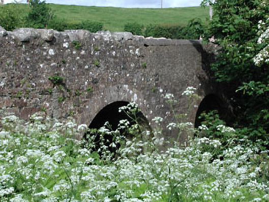 Lady Bridgebridge · 1654 yd
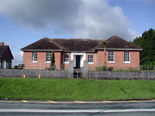 Nobber Technical Schoolschool · 1.0 mi
 Nobber GreenwayMemorial · 1.2 mi
 MoatCastle, motte and bailey · 1.2 mi
 Ugly HillMountain / peak · 1.3 mi
 Gallows HillMountain / peak · 1.5 mi
 CastleCastle, motte · 1.7 mi
 Common LimeCommon Lime · 1.8 mi
 Cherburg WoodForest · 2.1 mi
 Owenroe and Moynalty DrainageMemorial · 4.6 mi