What is recorded here
Magic is not even needed to explain why people avoided the place. The earth rises fifteen centimetres above the grass and falls fifty centimetres below it, forming a complete circle twenty-five metres across on the slope of a drumlin in Headford. Another rath waits seventy-five metres north-east and a moated site sixty metres south-west, as if the hill had rejected ordinary settlement and offered instead a game of circles. What lives inside the ring has never been asked to leave.
Situated just off the crest of the W-facing slope of a drumlin. This is an overgrown circular area (int. diam. c. 25m) defined by an earthen bank (at W: Wth of base 4.5m; int. H 0.5m; ext. H 1.5m) and an external fosse (at W: Wth of top 6.3m; Wth of base 3.5m; ext. D 0.5m). The original entrance is not identified. Rath (LE032-032----) is c. 75m to the NNE and the moated site (LE032-034----) is c. 60m to the SSW.
The above description is derived from 'The Archaeological Inventory of County Leitrim' compiled by Michael J. Moore (Dublin: Stationery Office, 2003). In certain instances the entries have been revised and updated in the light of recent research.
Compiled by: Michael Moore
Date of upload: 23 September 2008
Amended: 5 December 2019
The monument record does not grant public access. Check the route and ask the landowner before entering private land.
- What survives
- Recorded monument
Places near here
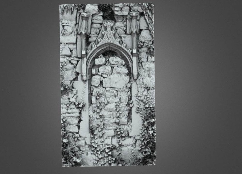 Enclosure in AnnaduffEnclosure · 1467 yd
 LisduffFairy fort / earthen ringfort · 1702 yd
 Drumsna National Schoolschool · 1.1 mi
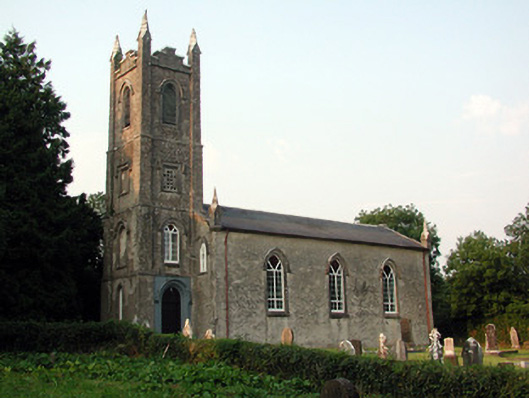 Saint Anne's Church (Annaduff)church/chapel · 1.3 mi
 Tom Dunphy MemorialMemorial · 1.4 mi
 Declaration of IndependenceMemorial · 1.4 mi
 Wildlife AreaNature reserve · 1.7 mi
 CastlecarraCastle, unclassified · 3.7 mi
 Site of Dangan CastleCastle, unclassified · 3.8 mi
 Leabaidh DermotCave · 4.4 mi
 Turlough O'Carolan MonumentHeritage attraction · 4.7 mi
 InishmoylinIslet · 4.8 mi