What is recorded here
Situated on a gentle E-facing slope, in pasture, with good views to SE and S. Depicted on the 1837 ed. OS 6-inch map as a subcircular-shaped earthwork. Poorly preserved monument described in 1971 as a roughly circular-shaped area (diam. 24.5m) which has almost been completely levelled. The monument is bisected by a field fence running NNW-SSE and is best preserved as a slight rise to E of this. Modern house and driveway built immediately N and W of ringfort visible on Digital Globe aerial photographs.
Compiled by Alison McQueen, Vera Rahilly and Caimin O’Brien.
Date of upload: 05 September 2019
The monument record does not grant public access. Check the route and ask the landowner before entering private land.
- What survives
- Recorded monument
Places near here
 bridgebridge · 471 yd
 Greenpark Housegates/railings/walls · 715 yd
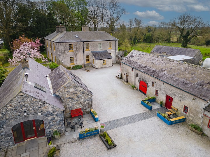 Enclosure in Tuitestown (moyashel & Magheradernon By.)Enclosure · 908 yd
 Partially hachuredFairy fort / ringfort · 1744 yd
 OutlinedBawn · 1.1 mi
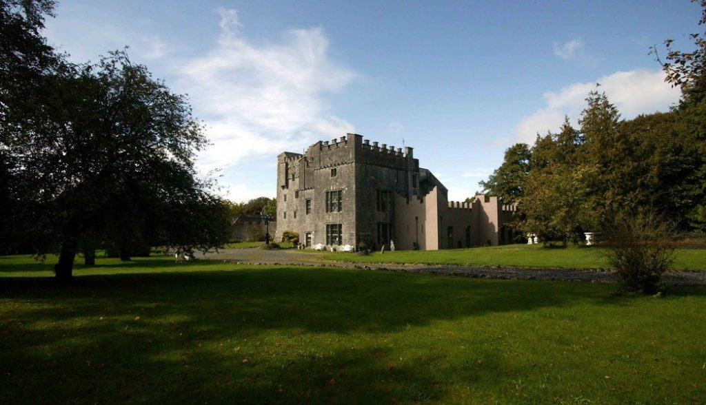 Castle (in Ruins)Castle, tower house · 1.1 mi
 WestmeathVisitor information · 2.7 mi
 Srudarra IslandIslet · 4.3 mi
 Carrickphilbin IslandIslet · 4.4 mi
 Ancient Ring FortWood · 4.9 mi
 Sessile OakSessile Oak · 9.8 mi
 Abbeyshrule AbbeyRuins · 11 mi